DAY 1 FRIDAY 12TH DECEMBER.
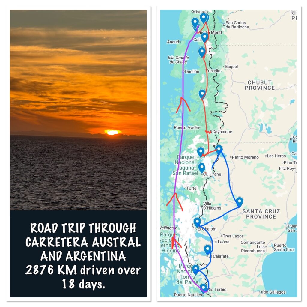
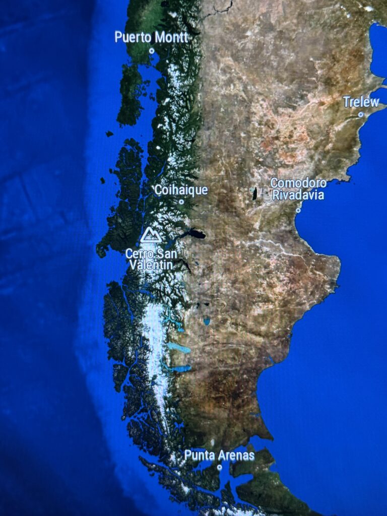
Puerto Montt is the official northern starting point of the Carretera Austral (Southern Highway). We had booked directly with LATAM Airlines. The routing was Manchester, Paris, São Paulo, Santiago and finally PUERTO MONTT. The Air France flight to Paris was at 6 am.
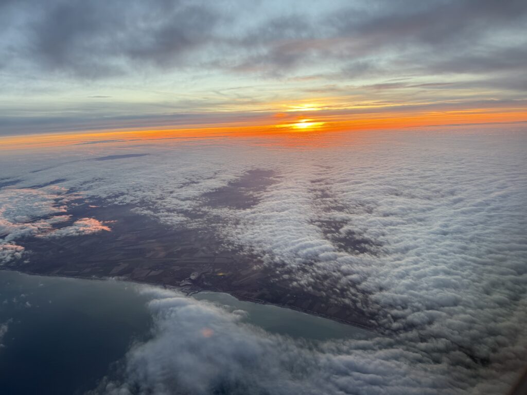
Sunrise over the coast of France 12th December.
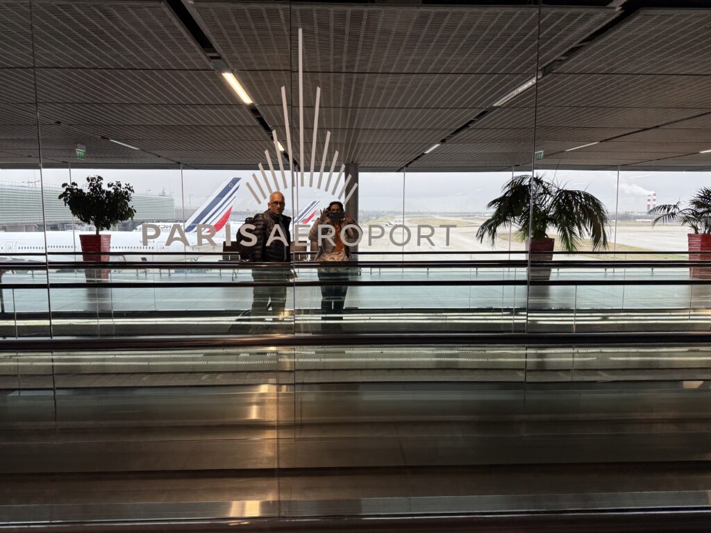
Transit through Paris CDG Airport. We had not transited through Paris CDG for a long time, and was pleasantly surprised with its facilities and layout compared to many other European Airports. We had about 3 and half hours and wandered slowly to our gate which was quite a distance away, in a relaxed manner as I was confident we had ample time to board.
With 45 minutes to go, a glance at a flight information screen indicated that boarding for Santiago had closed. Breaking into a cold sweat, and horrified that our holiday had come to an end before it even starts, we made a dash for the gate in panic and were two of the very last passengers. The flight took off just 10 minutes late of the scheduled time.
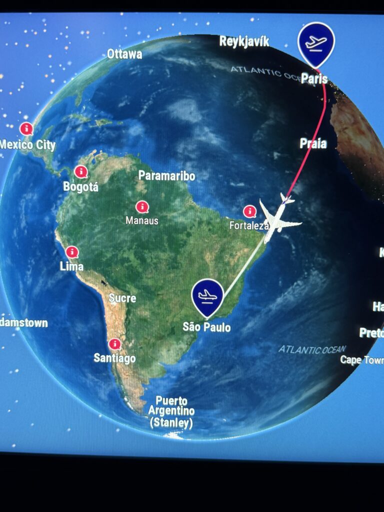
The flight to São Paulo was 11 hours. It was comfortable and we caught up on lost sleep. We were anxious about our connection to Santiago, as it was short, 1 hr 20 mins. I find modern aviation technology fascinating with up to the minute real time. The route from Paris crossed the Atlantic, on to Brazil, crossing Uruguay and then on to Argentina and São Paulo. Landing at São Paulo was on time with only 5 mins delay. Connection to the Santiago flight was seamless and security were efficient and fast, while pleasant and relaxed. On the flight, I had an opportunity to study the Carretera route down from PUERTO MONTT, and I must admit, with a twinge of anxiety as after all these months, we had embarked on the journey.
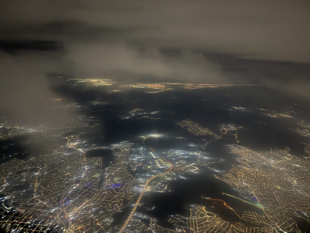
São Paulo by night after take off en route to Santiago.
We landed in Santiago just before midnight. The immigration officer wanted to know where we would staying in Chile. He smiled when I said we were planning to drive the Carretera Austral. He stamped our passports and gave us our ( PDF). These are important pieces of paper for Non-Chilean citizens as every hotel or other places of accommodation are required to see them and take a copy when checking in at a hotel.
DAY 2 SATURDAY 13TH DECEMBER (PUERTO MONTT)
We had to now retrieve our luggage, and then check into our next and final domestic flight to PUERTO MONTT. We heaved a sigh of relief to see that our three pieces of checked in luggage had been delivered intact.
The next step was to proceed to customs after filling a customs landing form and signing a declaration. One of our bags had been tagged with a yellow tag and a customs officer wanted it scanned. He then wanted it opened, asking if we had any food stuff. I repacked in the negative. He rummaged around and and retrieved a carton of mixed nuts which we had brought along for the journey.
He looked at it and us with a friendly grin and said. “No food?”. This OK and waved us on.
Checking up later, regulations regarding food are pretty strict, and commercially packaged items can be brought in but must be declared on the Customs/SAG form upon arrival.
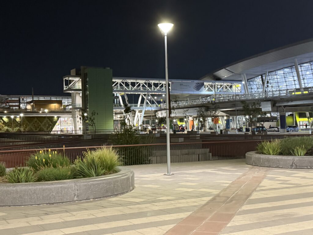
Once customs had been cleared we had to transfer to the domestic terminal which was bit of a walk for the 4:39 connection to PUERTO MONTT El Tepal international airport.
Santiago also has modern sleek efficient terminals, which did not appear as crowded as UK and European airports.
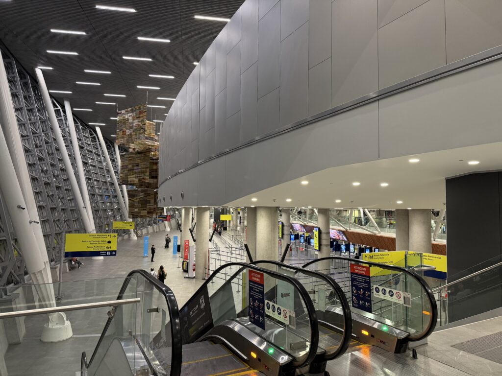
Santiago International and Domestic Terminals in the early morning.
The flight to El Tepal was short and it was drizzling at landing at 6.30. Caught an Uber to our hotel where they were accommodating and let us check in at 8am as the room was free instead of 3.pm.
We crashed out for a few hours of welcome sleep. At 3 pm, reception rang as our Rental Car had arrived. I had booked the 4WD from Lys Car Rentals Chile. The decision was based on online reviews and also the fact that Lys operates 24/7 English Language help Line : More importantly, Andres Gabor who owns Lys, got in touch immediately after the enquiry with suggestions of the vehicle requires, and the route and places to see, points of interest, and contacts along the way for accommodation, sightseeing, tours and restaurants. He would generally respond to queries within a few hours.
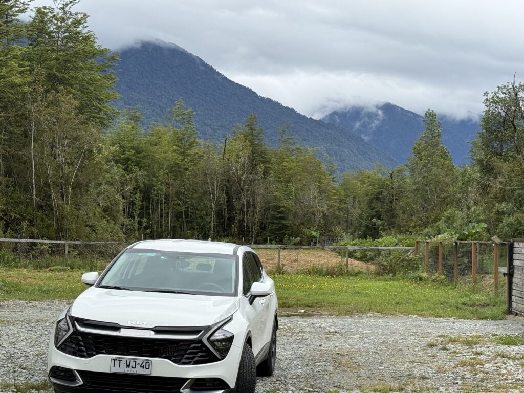
As it was a Saturday, their airport office was not open, so he offered to have the car delivered to our hotel in the afternoon. The vehicle was a Kia Sportage 4WD, which had done 34,000 miles, and primarily a Sixt Rental. However Andres had also provided all the paperwork required for driving into Argentina and driving permits for both of us.
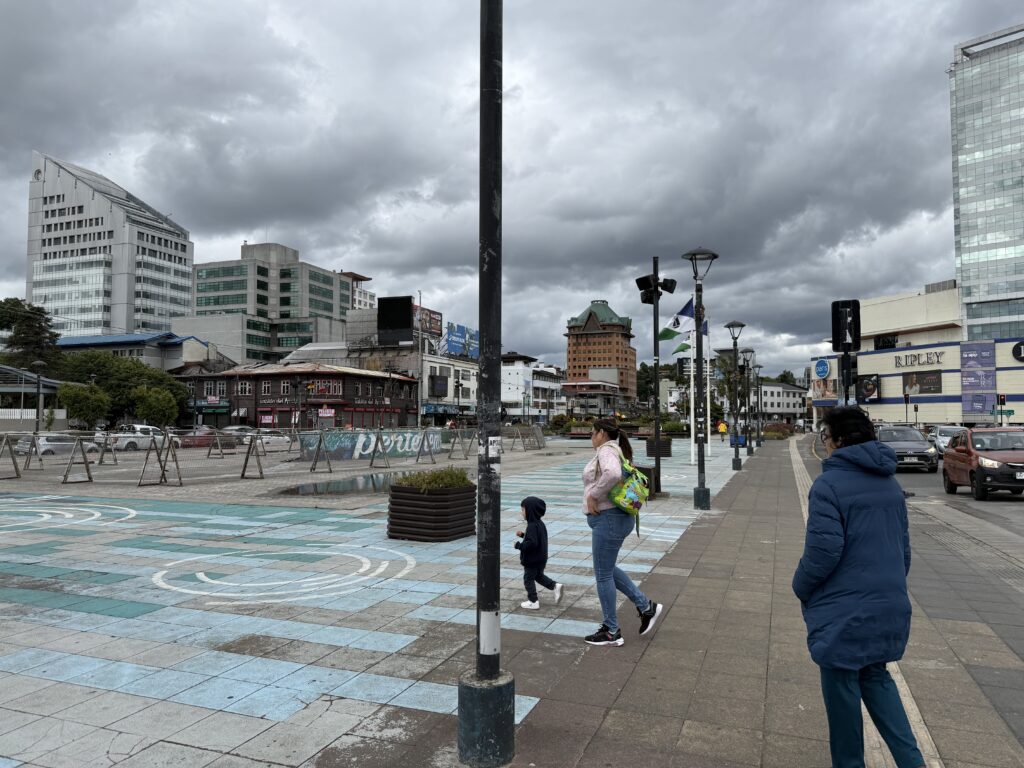
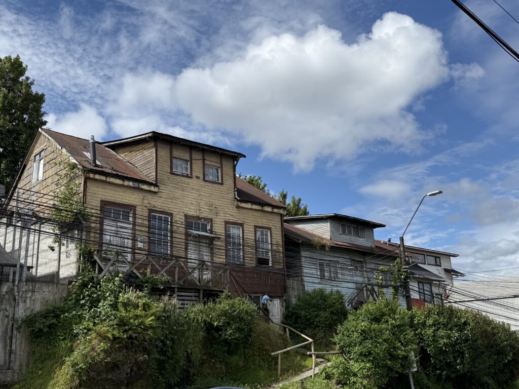
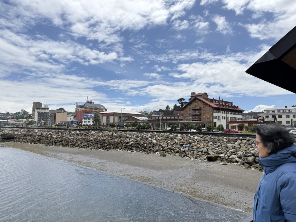
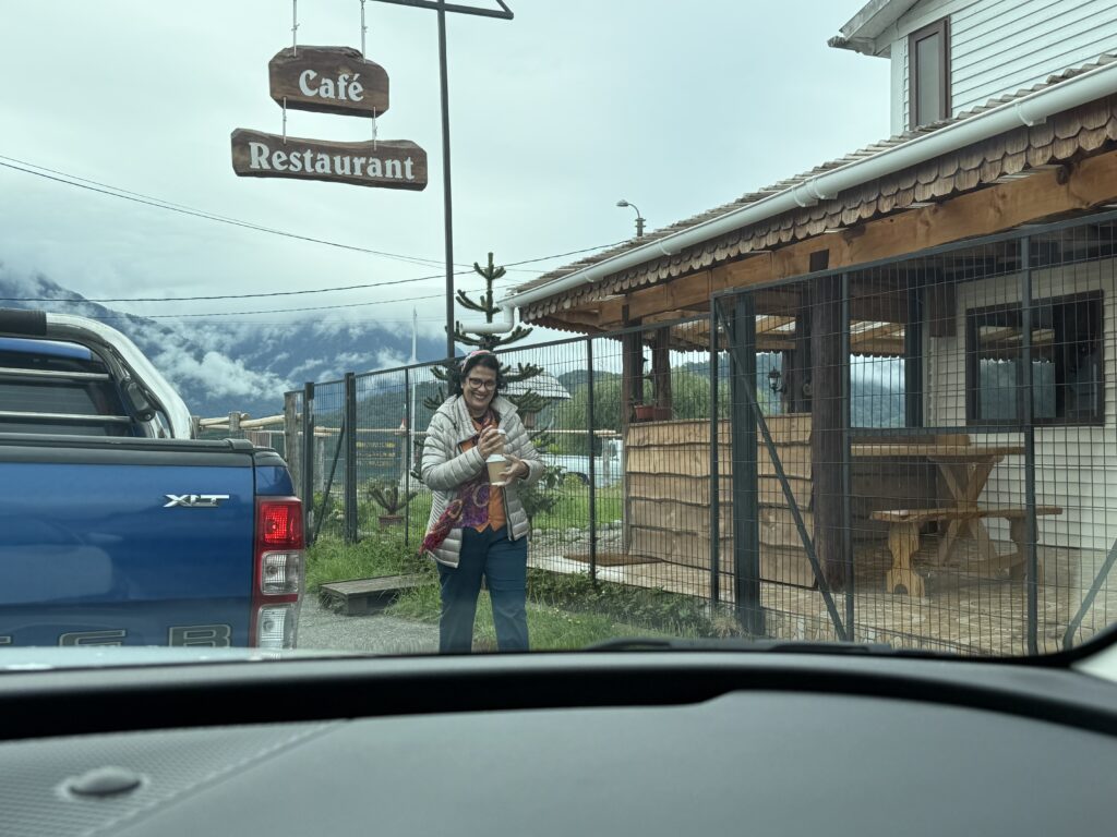
After delivery of the car, we walked to the centre of PUERTO MONTT about 20mins away. I must admit it was a run of the mill place, like a slightly run down large town. It has a long waterfront where the Carretera Austral commences. We wandered to Rengifo street, recommended by the hotel receptionist for some local cuisine and some Calafate.. and then off to slumberland.
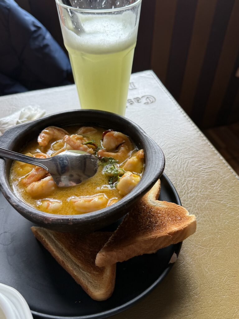
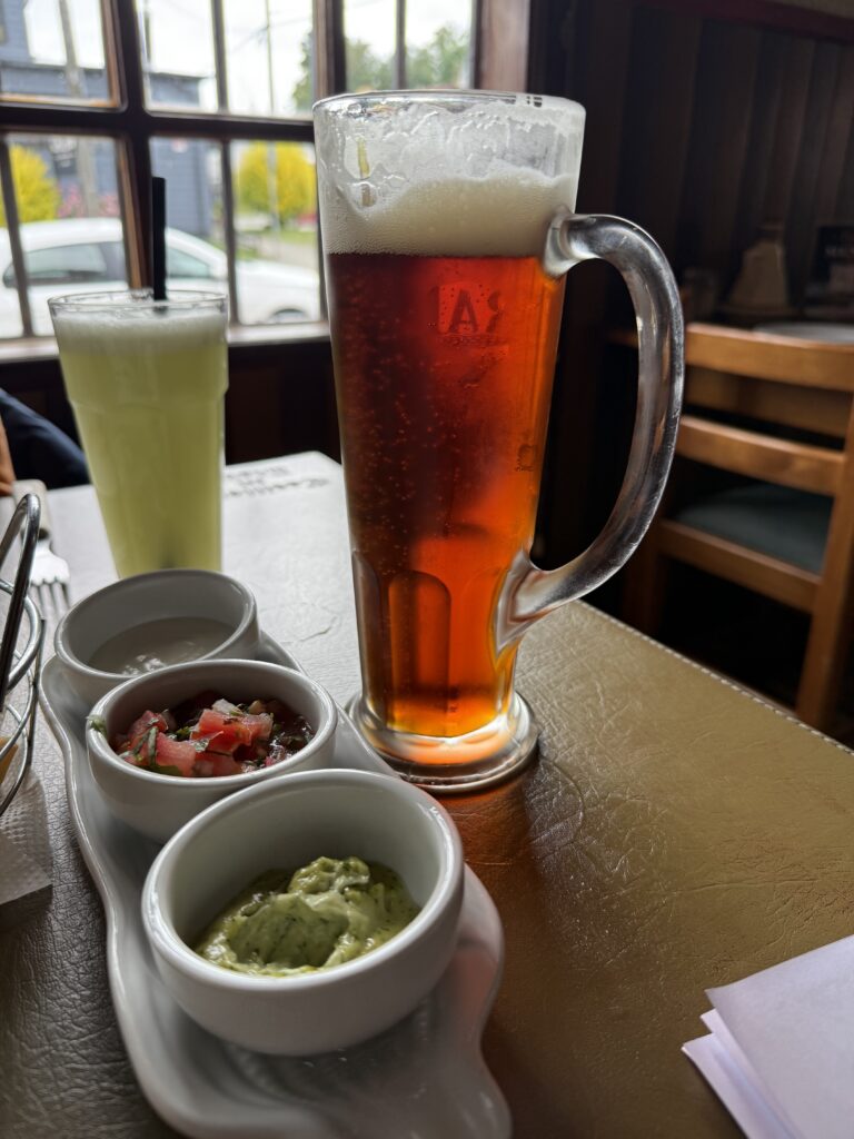
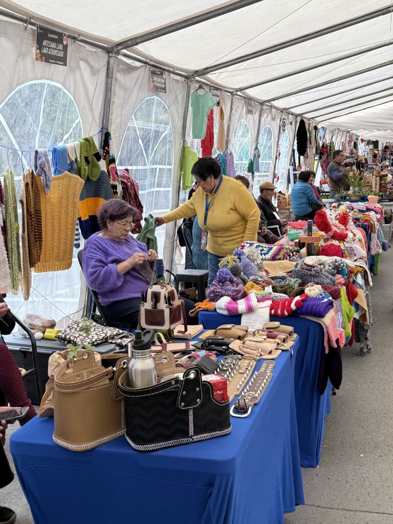
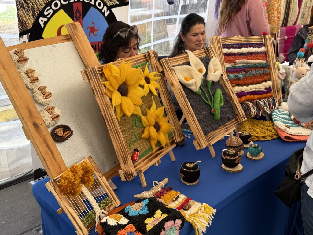
PUERTO MONTT, Chilean Cuisine and Calafate beer!
PUERTO MONTT scenes.
DAY 3: SUNDAY 14TH DECEMBER: DRIVE TO PETROHUE, SALTOS DEL RIO PETROHUE, VOLCAN OSORNO, LAGO LLANQUIHUE AND PUERTO VARAS
After an early breakfast we set off on our first (test) drive. The plan was to head towards Petrohue and Osorno. On fitting the Garmin GPS, the commentary was in Spanish. Despite going through the set up instructions, there was no English commentary.
Got on the phone to Andres, who also checked up and was flummoxed. He suggested dropping by the city office the next day (Monday) before we left for it to be sorted.
Switched to Google Maps, which was in a way much more convenient. In addition O2s (Sheila’s phone) roaming tariff in Chile was the same as the UK tariff.
Route below.
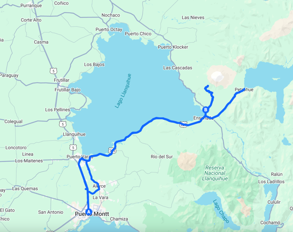
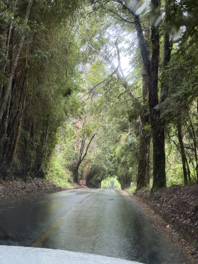
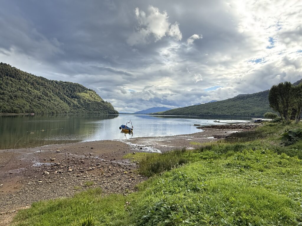
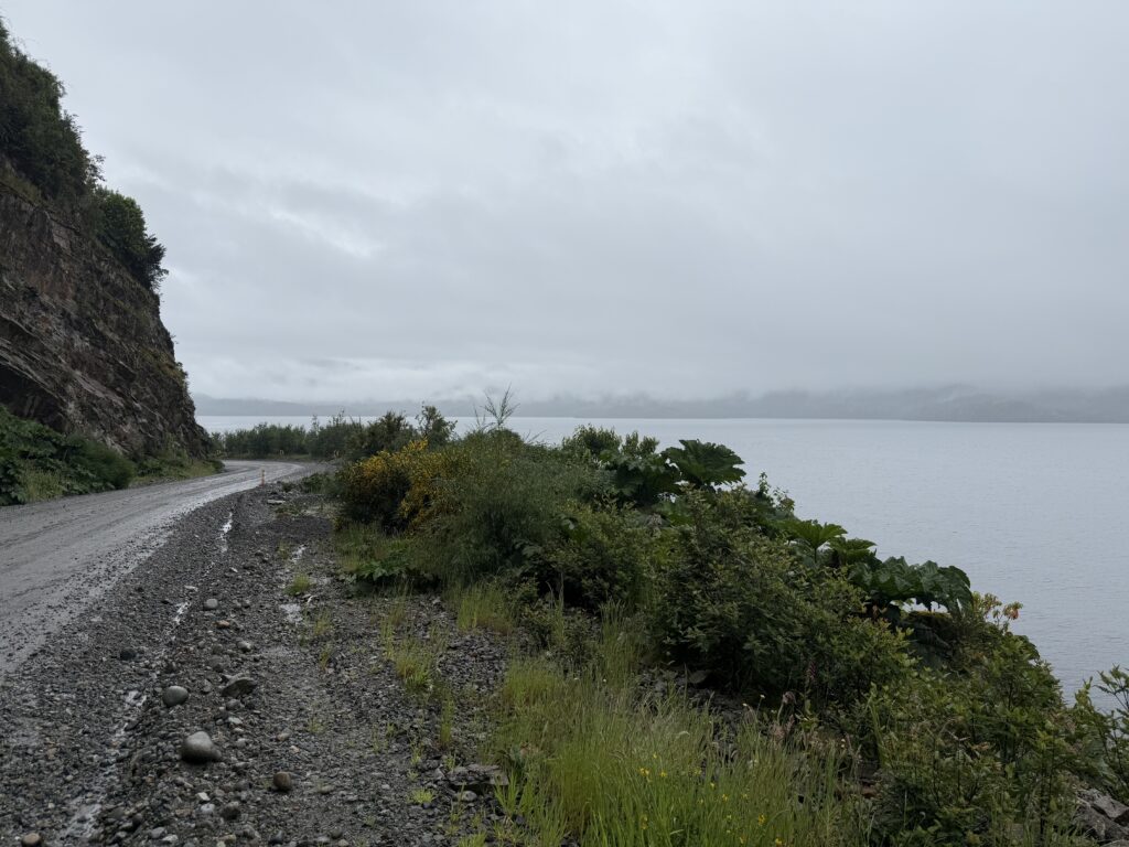
Rather than take the main highway, we took the road through Alerce to get on to route 225 which runs on the southern coast of Lago Llanquihue to Petrohue. There was a light drizzle and fog which cleared as we reached Llanquihue, and drove along the lakeside road to Ensenada, a picturesque village at the south eastern tip of the lake before the road divides to Petrohue to the east, Las Cascades towards the north and Hornoperin to the south.
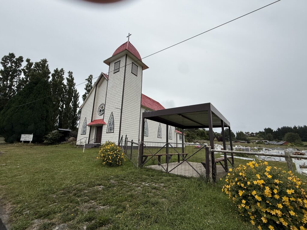
Llanquihue has a strong German influence. Before and after the Second World War a numerous Germans came and settled around this area (Puerto Varas, Osorno and Llanquihue) and this is reflected in the names of places, bridges, and rivers and towns. This is a small German church that we passed along the way but could not go in as it was locked.
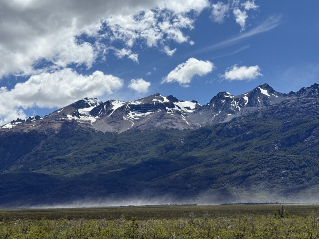
VOLCAN OSORNO in the distance, however the characteristic cap of snow on the summit, obscured by clouds.
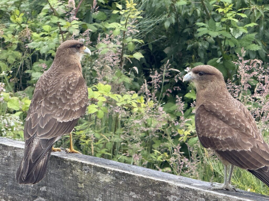
Two friendly “Chimangos” by the road side. Chimango Caracara is a type of falcon. It is a common bird in South America.
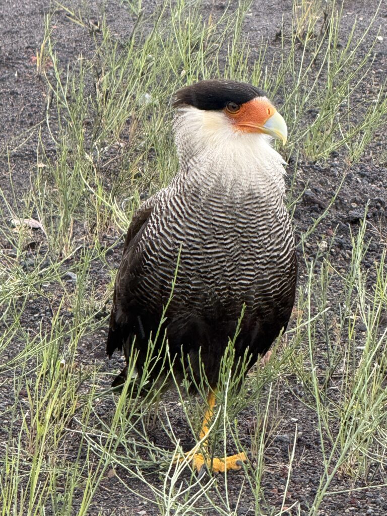
A Traro (Caracara Plancus or a Crested Caracara) on the roadside on the drive to Petrohue. They are also a type of falcon but cannot fly like a falcon. This chap was quite nonchalant, when approached to almost a couple of metres.
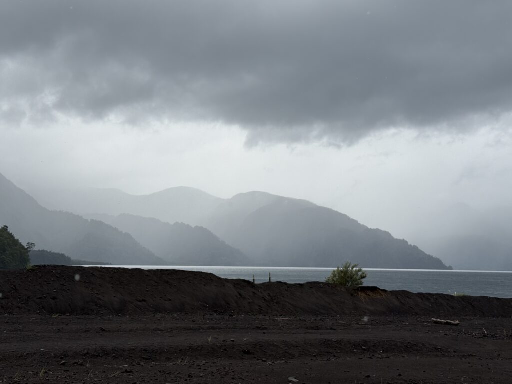
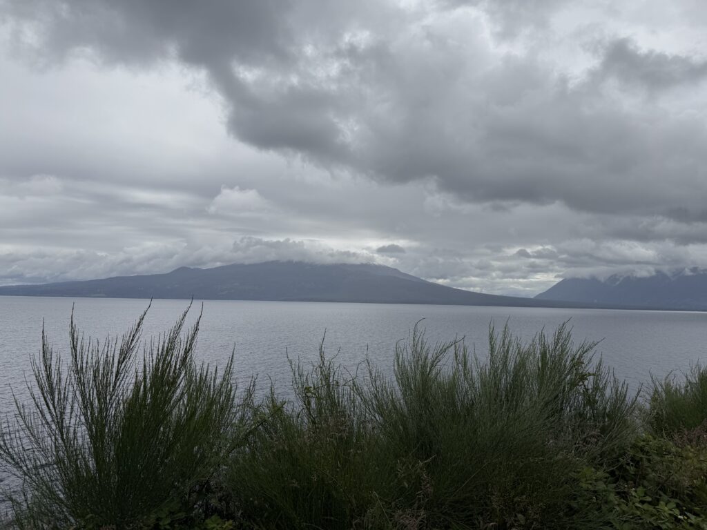
Rain clouds over Lago Petrohue? It is interesting how quickly and continuously the weather keeps changing. Along with gusting winds and wind chill, it was pretty cold for “Spring”
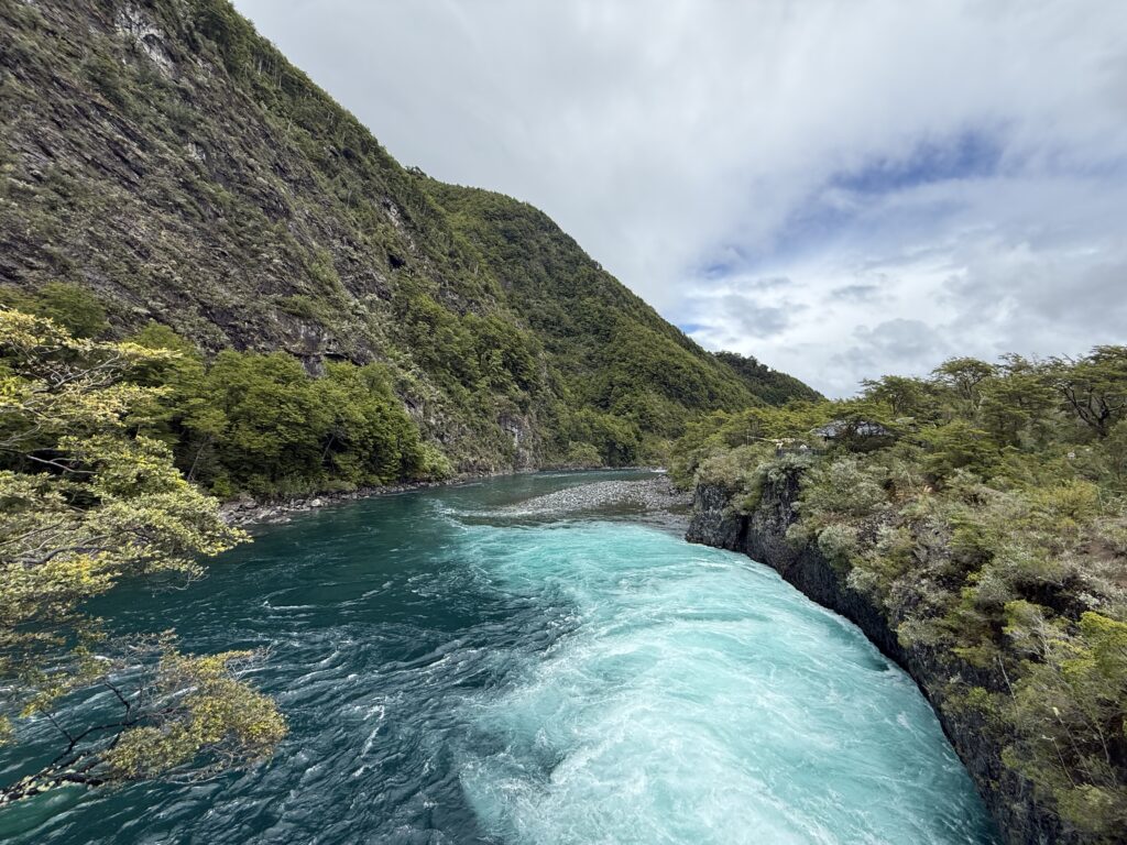
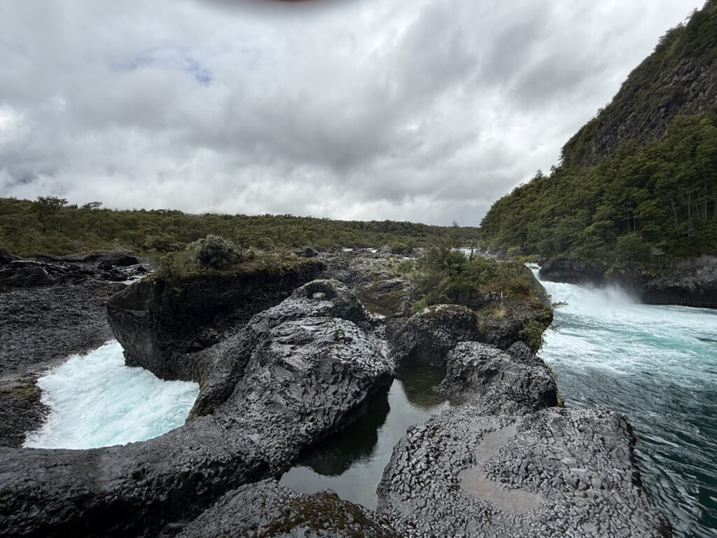
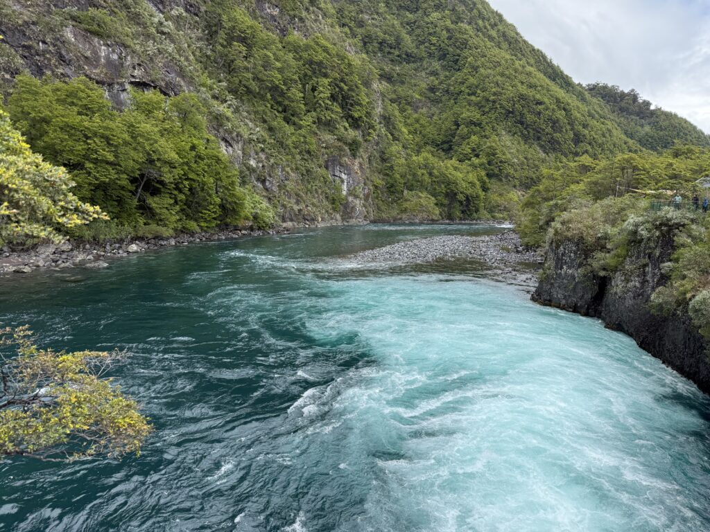
Saltos del Rio Petrohue. These are a series of waterfalls in the Vincente Perez Rosales National Park. It is especially striking due to the vivid turquoise water flowing through the dark volcanic rocks.
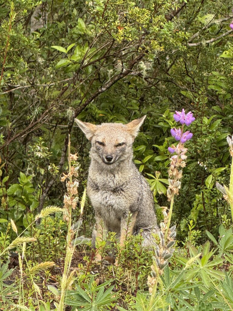
A South American Grey Fox or Patagonian Fox or Zorro Gris, by the side of the road en route to Volcano Osorno. They are more closely related to wolves and Jackals rather than to the Fox family.
It was fairly clear on the drive up, and the road sides were filled with lupins growing wild and profuse.

By the time we reached the top, the weather had changed completely, and thick fog had descended and visibility was minimal. We had a short break and left soon as the Cafe manager said they were expecting about 8 inches of snow.
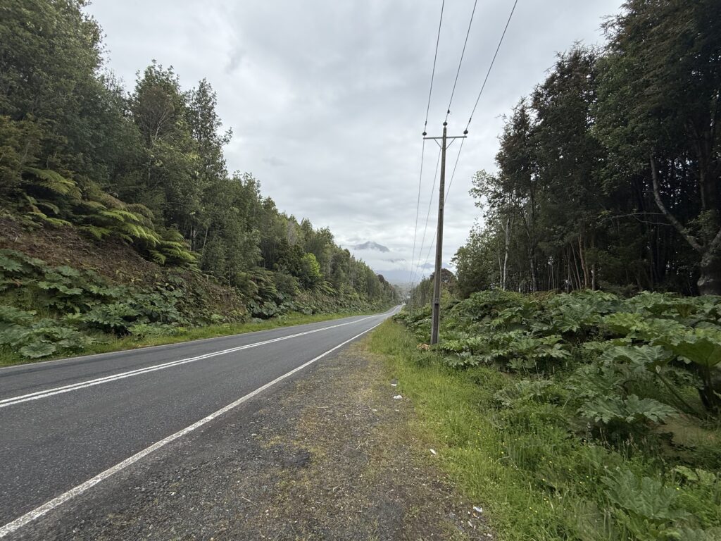
DAY 4: MONDAY 15TH DECEMBER: PUERTO MONTT TO HORNOPIREN
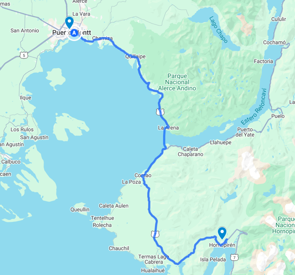
First day’s route to Hornopiren.
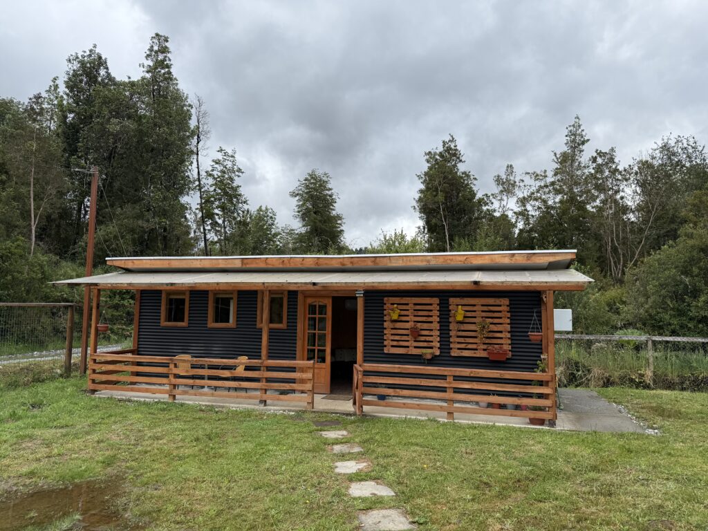
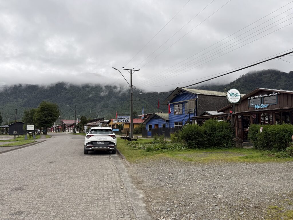
Hornopiren is a sleepy little town, through which travellers travelling up and down Ruta 7 travel. We filled up on gasoline (93) and stocked up on a few items from the local mini market before driving to Felipe’s Air B@B just a couple of kilometres outside the town.
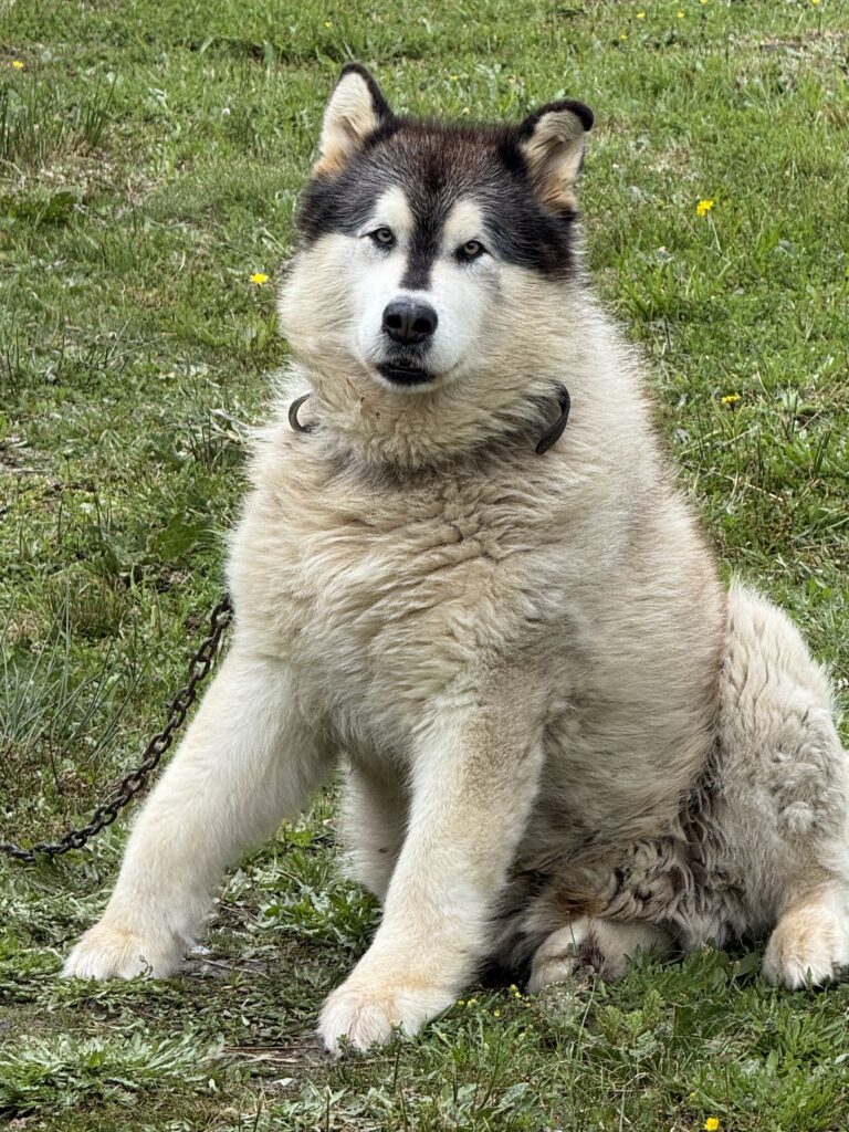
It was a cabin next to Felipe’s house. No one was around, and a gentle giant of a dog, watched us with inscrutable eyes as we checked in to the cabin.
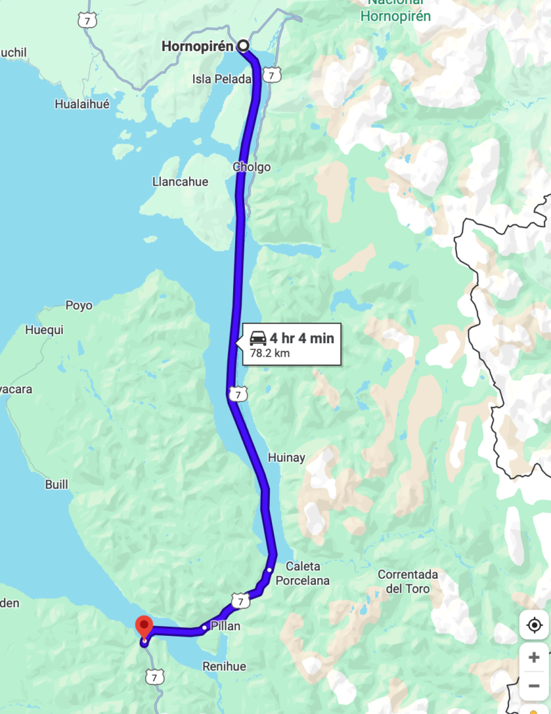
DAY 5: TUESDAY 16TH DECEMBER HORNOPIREN TO CALETA GONZALO BY SAMARCO BIMODAL FERRY
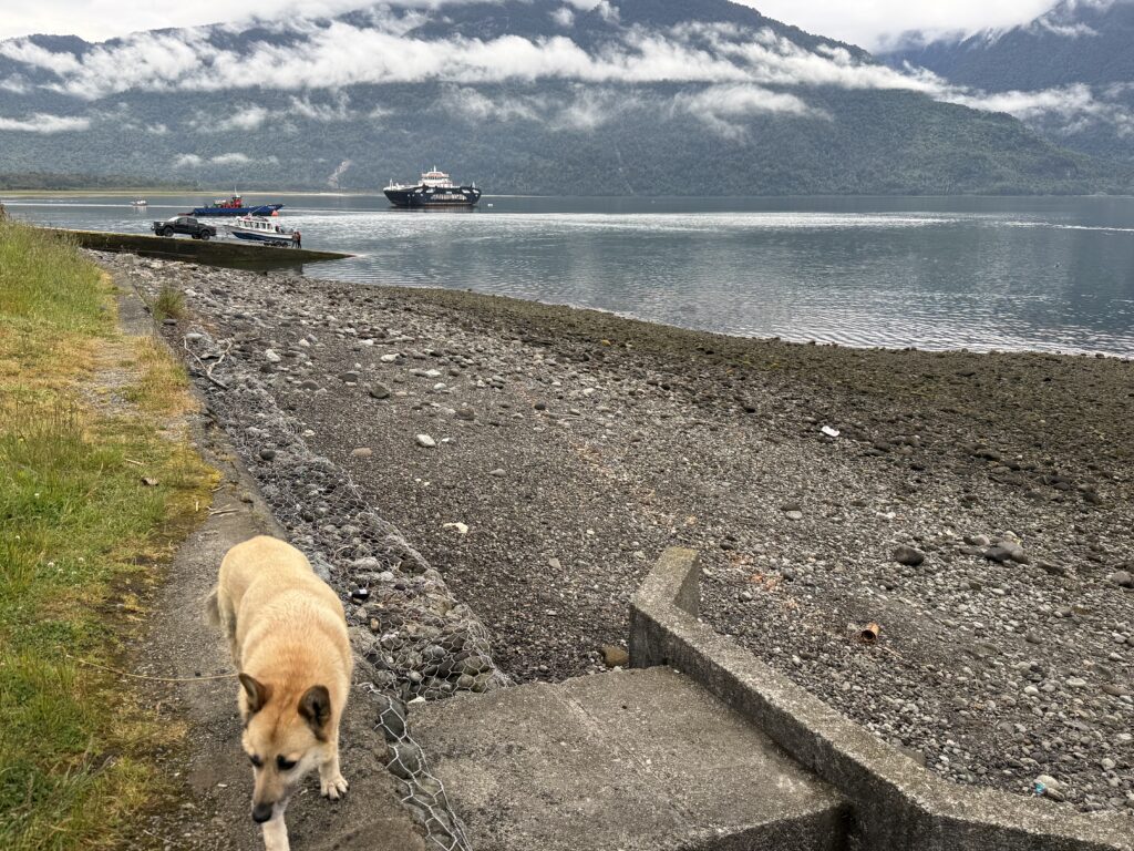
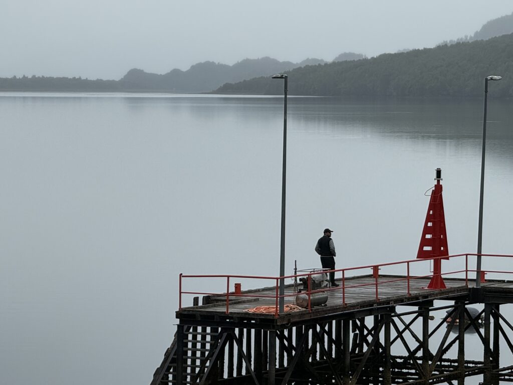
The ferry, the terminal and a couple of scenes of Hornopiren.
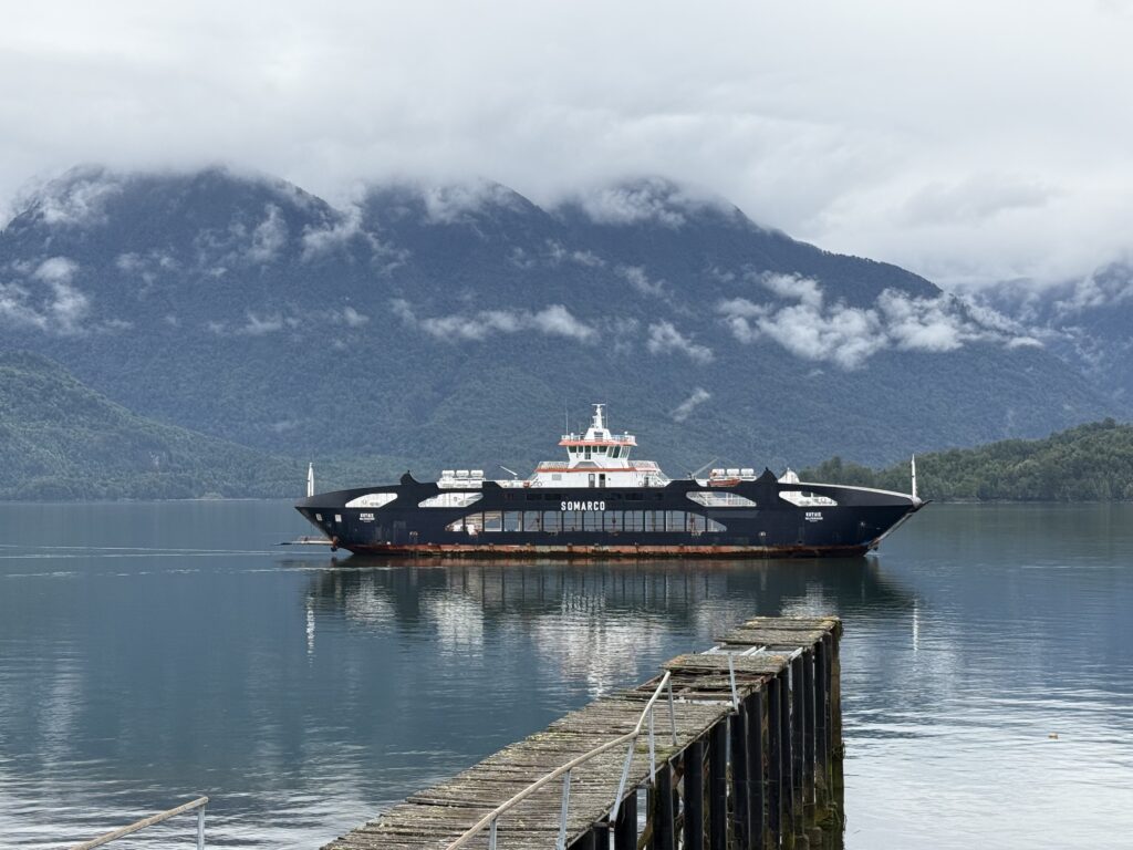
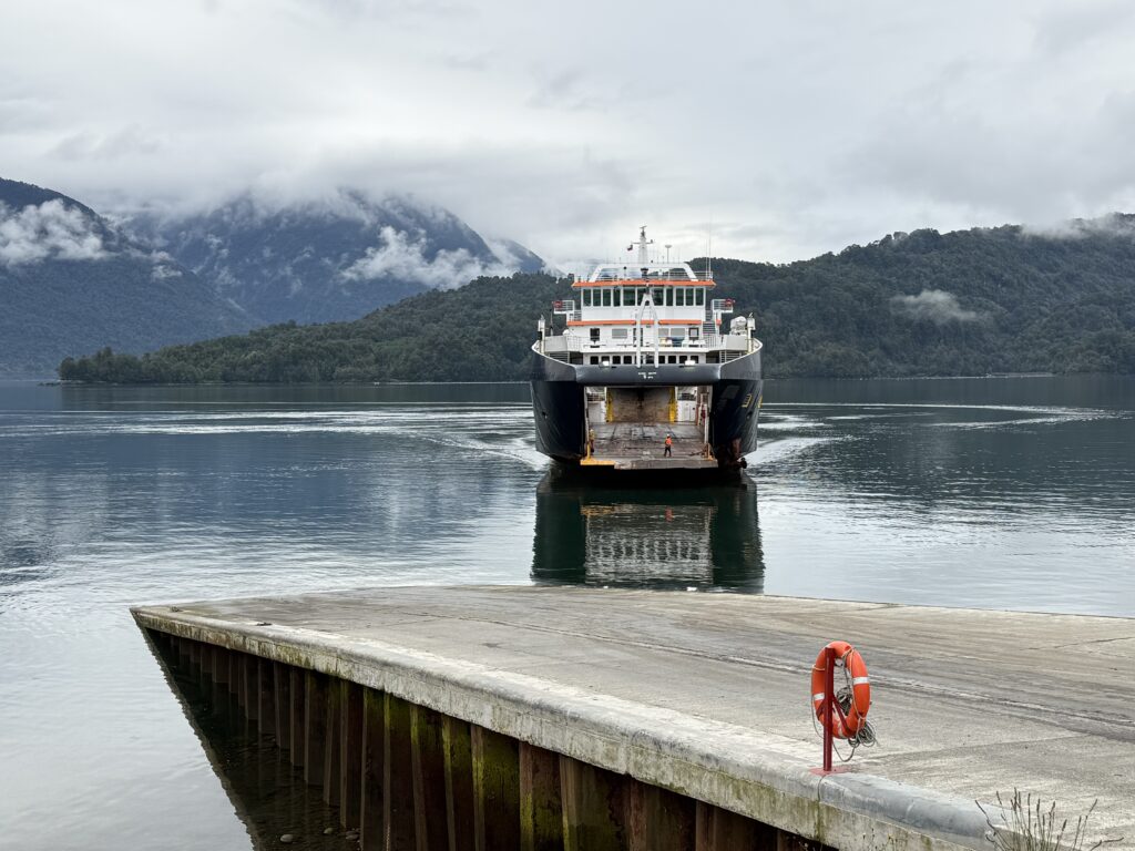
This is a bimodal ferry route which has to be booked with Samarco ferries in advance, as it is quite busy. You have to arrive at the terminal at Hornoperin at least two hours before departure and get checked on.
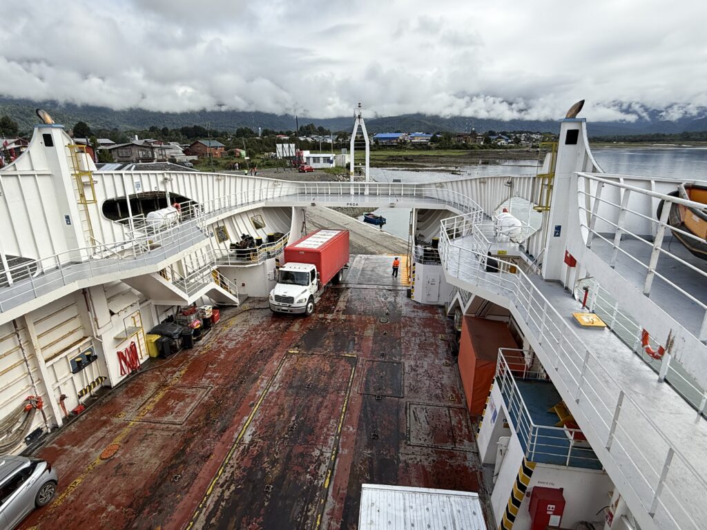
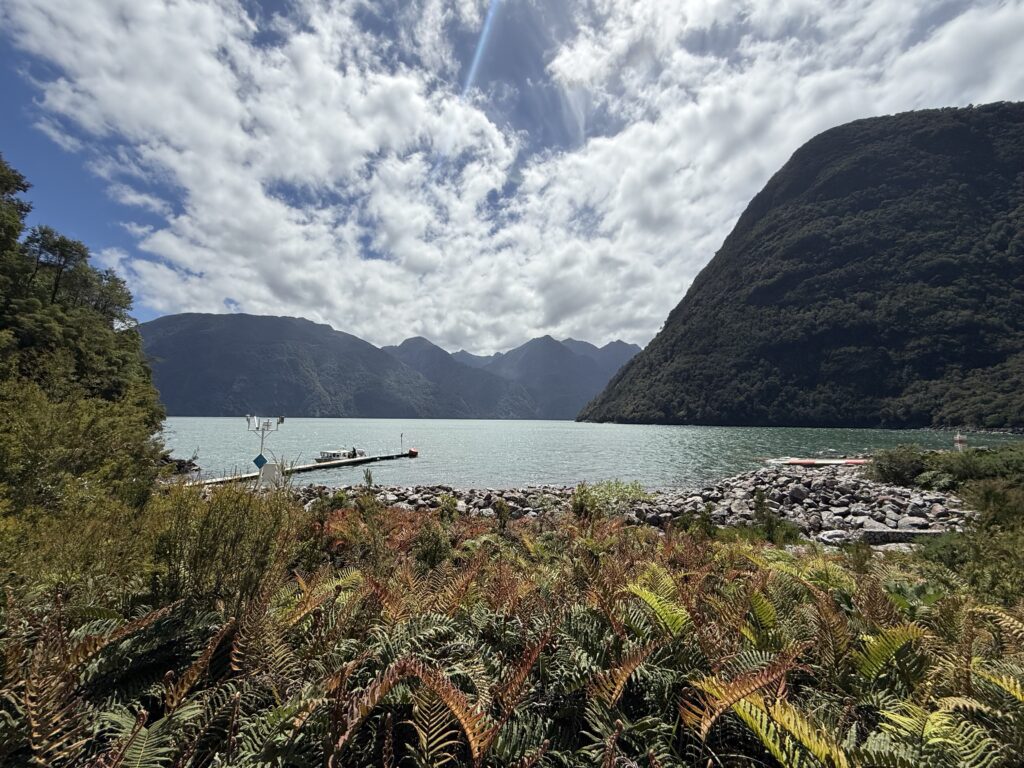
We got there by 8am. There were several lorries parked on roads leading to the terminal. Most appeared to have been there overnight. Loading began by 9.30 and was efficiently carried out, including a couple of huge cargo transporters. It took about 3 hours to Caleta Porcelana, where everyone disembarked and drove for about 30 mins to Pillan for the next ferry to Puerto Caleta Gonzalo.
The next ferry was smaller than the previous ferry and we just managed to get one of the final slots before it sailed. It was a short crossing of about 30 mins. The lodge where we were staying was just next to the ferry jetty.
We checked in to our cottage “Cisnes” which serendipitously happened to be closest to the water and overlooking the bay. The only disadvantage was the noise of the ferry every few hours.
We had dinner at the lodge that night and breakfast the next morning and met a friendly South African family with two young daughters , who were staying there for 4 nights and doing similar walks.
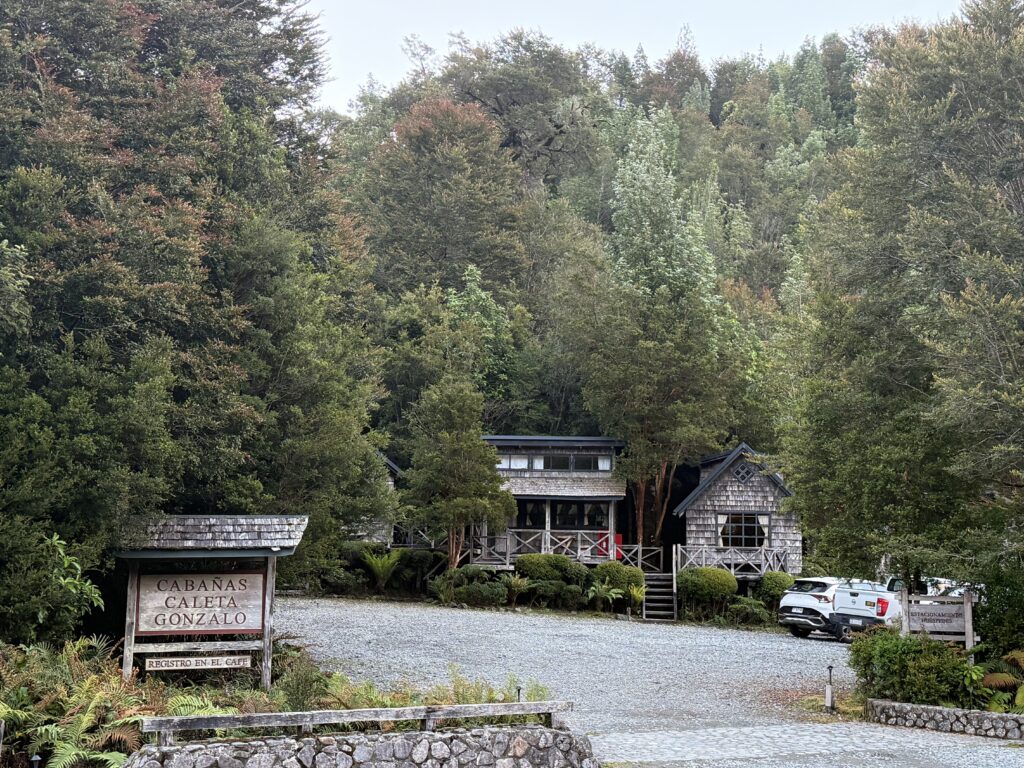
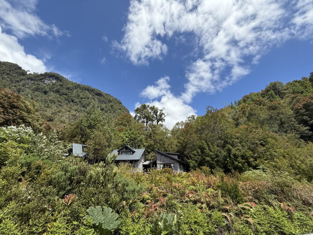
LODGE CALETA GONZALO IN THE PUMALIN DOUGLAS TOMPKINS NATIONAL PARK
https://www.rewildingchile.org/en/projects/pumalin-douglas-tompkins-national-park
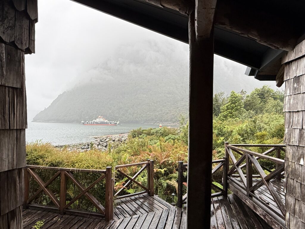
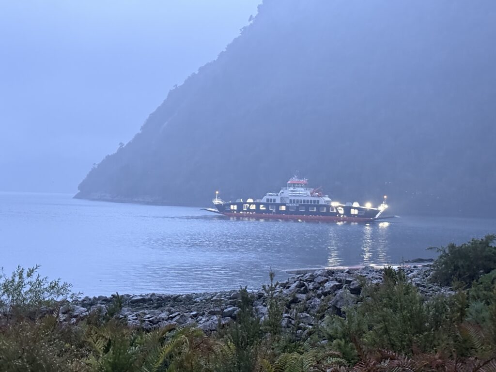
Views of the lodge and the bay and jetty with the ferry anchored overnight.
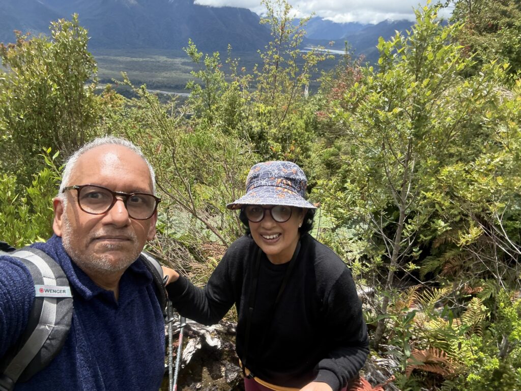
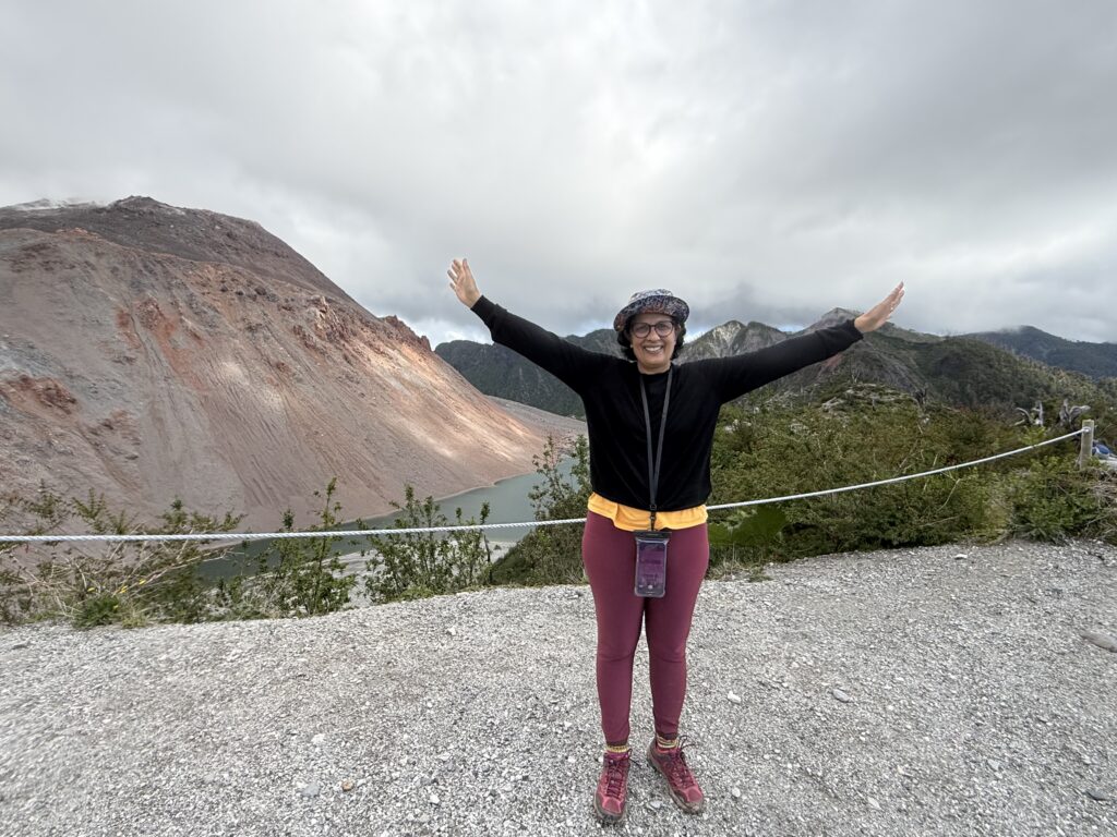
DAY 6: 17th DECEMBER: THE SENDERO VOLCAN CHAITEN TREK
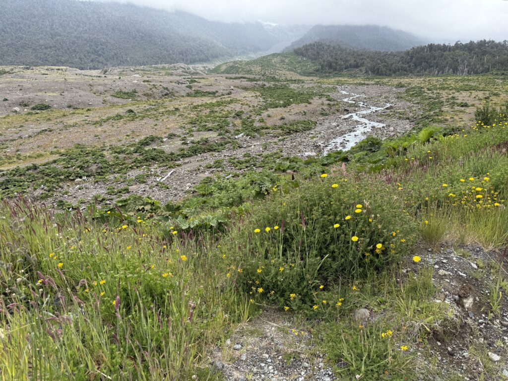
On the first day in Caleta Gonzalo, the weather was overcast and drizzly. Mathias one of the team who took care of all the meals at the Lodge Gonzalo, where we stayed had given us a list of the “Senderos” , i.e Treks in the area. There were 11 of them. He had recommended Sendero 8, the Volcan Chaiten Trail described as below and also the Alerces trail.
“The Chaitén volcano is a caldera-type volcano located 10 km northeast of the city of Chaitén and 34 km south of Caleta Gonzalo. On May 2, 2008, it erupted after centuries without activity, which caused massive evacuations of the population of the city of Chaitén and surroundings, great damage to the Pumalin Park, and changed the face of the sector. Within its crater two new domes of about 200m in height appeared, changing the summit. The forest that dominated the entire sector was largely destroyed by the pyroclastic material spewed out by the volcano. This latest natural disaster allowed the Pumalín Park administration to open a trail up to the crater rim up one of these slopes now cleared of the normally thick forest in the area.
Starting from the Carretera Austral, this trail allows you to climb its slopes along a well-marked path to a viewpoint near its caldera. Being an active volcano, you cannot climb to the very top, but from the viewpoint you have a good view of the central cone, of the area near the volcano, and you will be able to see uninterrupted fumaroles at a very short distance. During the walk, old tree stumps can be seen with the tops torn off that are still intact with new ones sprouting around them.
The Chaitén Volcano trail is one of the favorites of all visitors to Pumalin Park! The panoramic views on this hike are simply amazing. The landscape is quite unreal and the vibrant colors give the feeling of being on another planet 🙂
Starting point: From the Carretera Austral, Los Gigios bridge, 34 kilometers south of Caleta Gonzalo.”
We decided to try the Volcan Chainen trail, in the hope that by the time we started, the weather would improve according to the forecast. The starting point was 50 km away on a rubble road. By the time we reached the starting point, it was 11 am and the weather had cleared
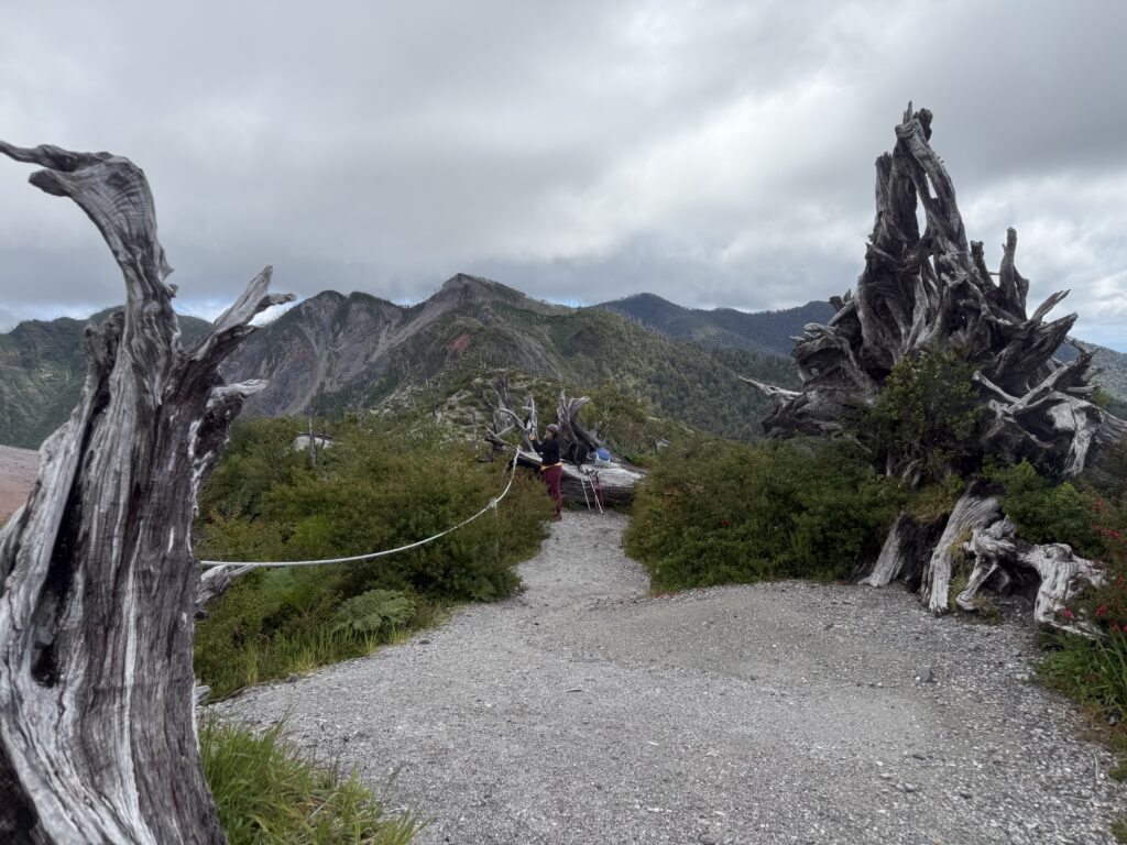
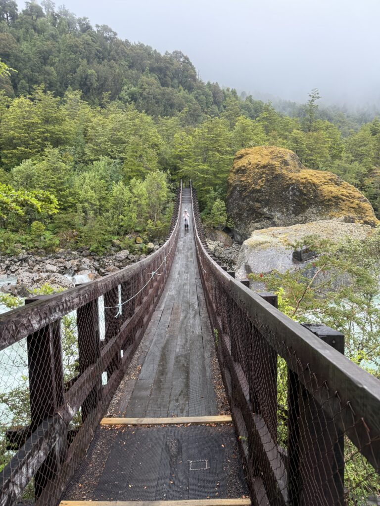
Sheila’s take: The trail (Sendera Volcan) was a narrow fairly steep winding path with thousands of steps made of logs, rocks and earth, each of different levels. It ascended 4.4 km to the summit. There was dense forest all around at the lower level. Early on we came to a shallow river of very clear water with rocks and boulders all around and a small bridge to help to cross. All this was very beautiful and enjoyable. However after that the climb started getting steeper. The whole trail was divided into 9 sections, with 9 signboards, with 1 at the starting point and 9 at the finishing point at the top.
As we climbed, these signposts gave us an idea of how much we had climbed and how much was left to be done. For a very fit person, the walk was supposedely achievable in 3.5 hours. For us and for me in particular this was not the case. It was getting more and more difficult as it got steeper and as we climbed higher and I had to stop every few minutes to get my breath.
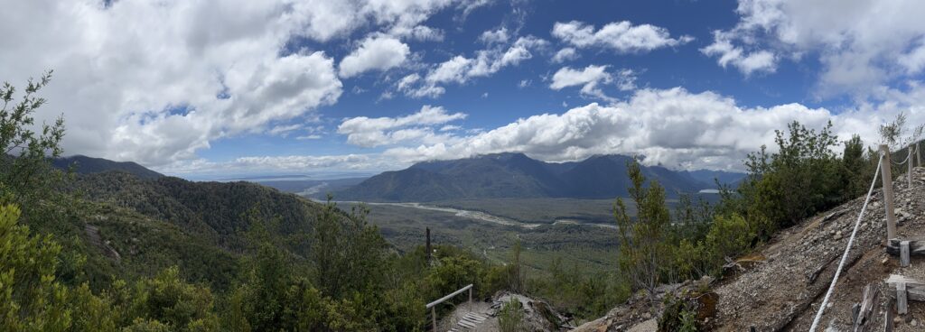
When we reached signpost 5 , which was about halfway uphill, we saw a lady coming downhill. Crossing us, she said, it was too difficult for her and she had given up. This made me anxious. Soon after we had crossed her, we came to a particularly high step, that was particularly high for us to reach and cross. We realised she had given up at this point. We were wondering what we should do. Should we turn back or should we carry on? If we were to continue, how would we navigate this step. And how would we manage on the way down? Just then a young couple who were descending, came around the corner to the step and expertly swung themselves down this steep step. They were descending after having reached the crater. We asked them to show us how they had climbed the step. They had used a tree trunk next to the step to lever and pull themselves up. Once they showed us, how to do it, Suresh (Titus) first and then I managed with some difficulty to get up the step. After that, not that it got any easier, but it did feel like we had overcome a challenge, and help had come along when we needed it. As we kept climbing people who were coming down encouraged us to keep going and when we finally reached the top, I felt a huge sense of achievement and the view of the crater and the lake at the bottom of it and the still smoking vents at the top of the volcano were an amazing sight and well worth the effort.
The reason I have described this is some detail is because it struck me as a metaphor for life.
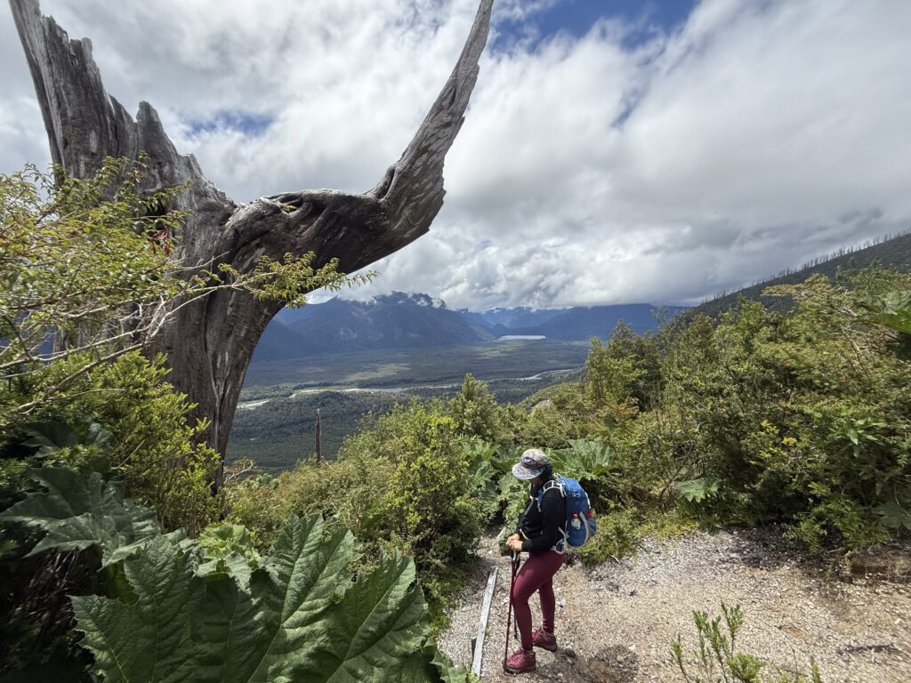
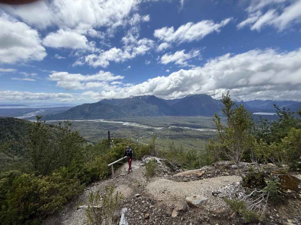
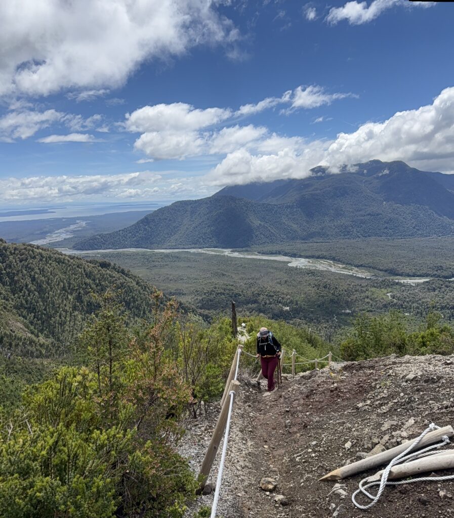
Images above of the route up to the summit. For the last 300 metres, there is a rope way with which you can support yourself going up.
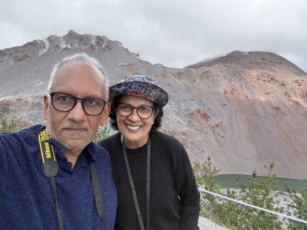
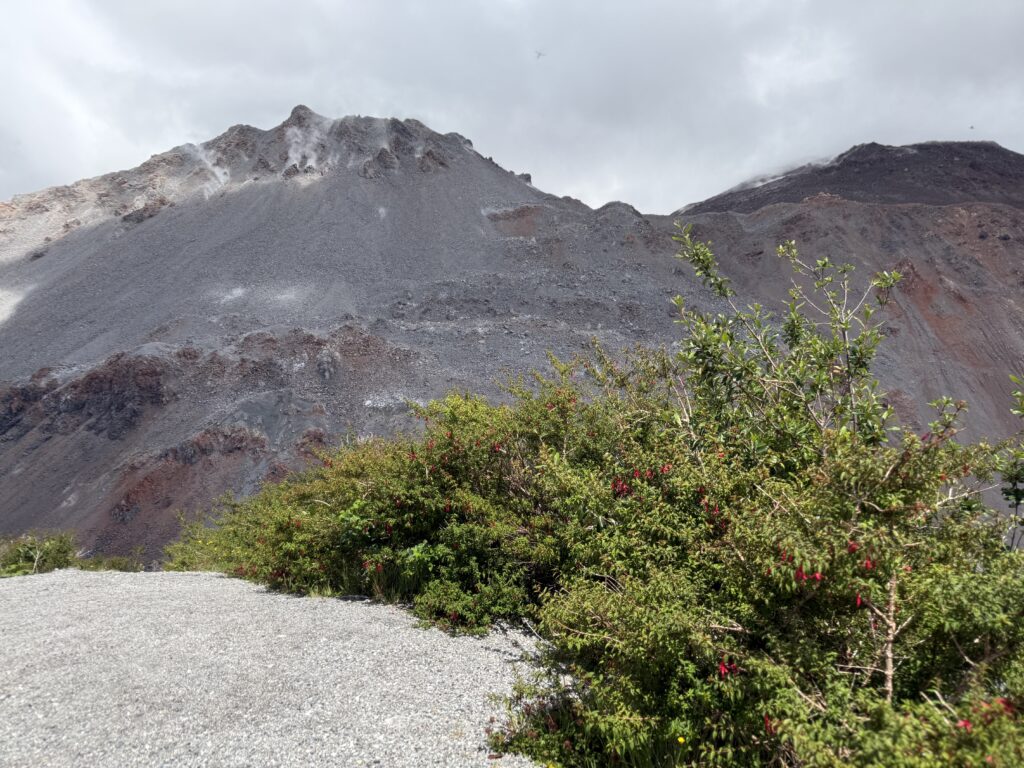
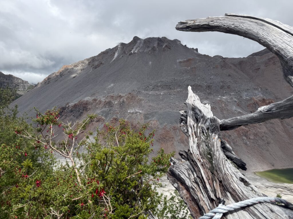
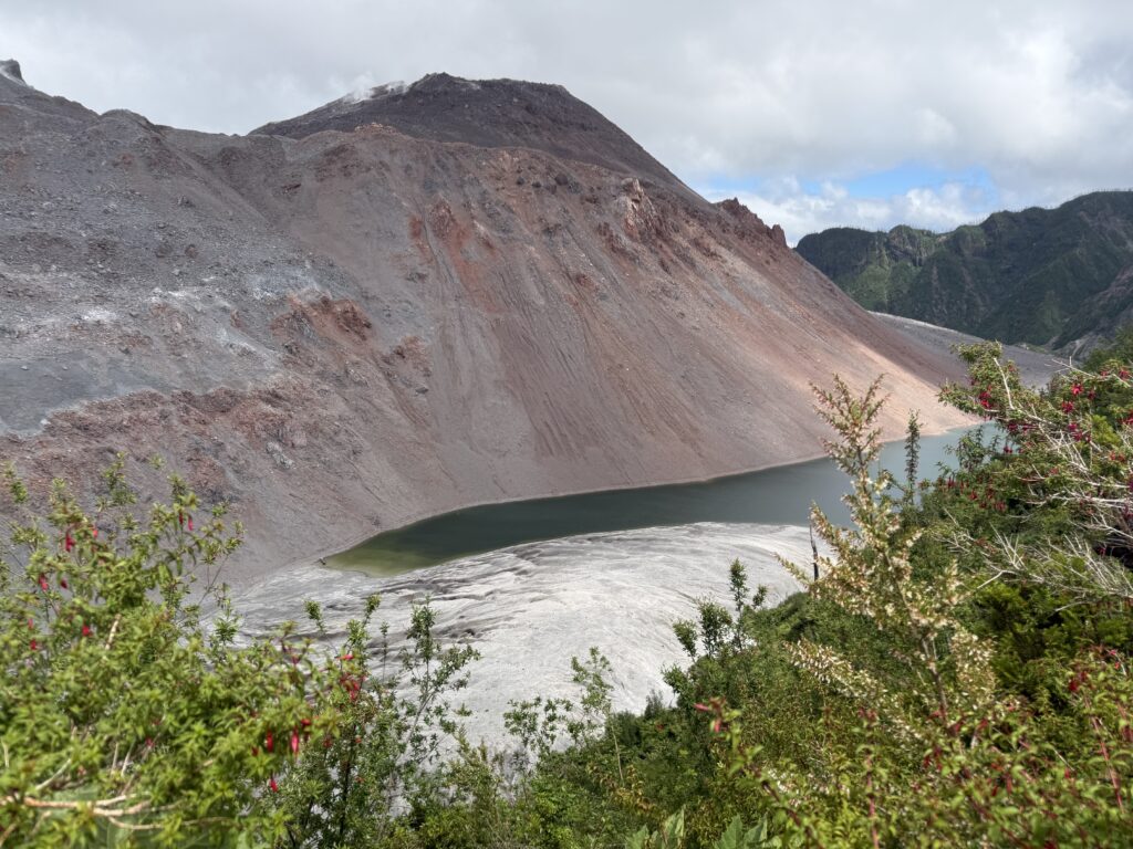
Images at the summit. Smoke and steam can be seen emanating from different areas at the summit.
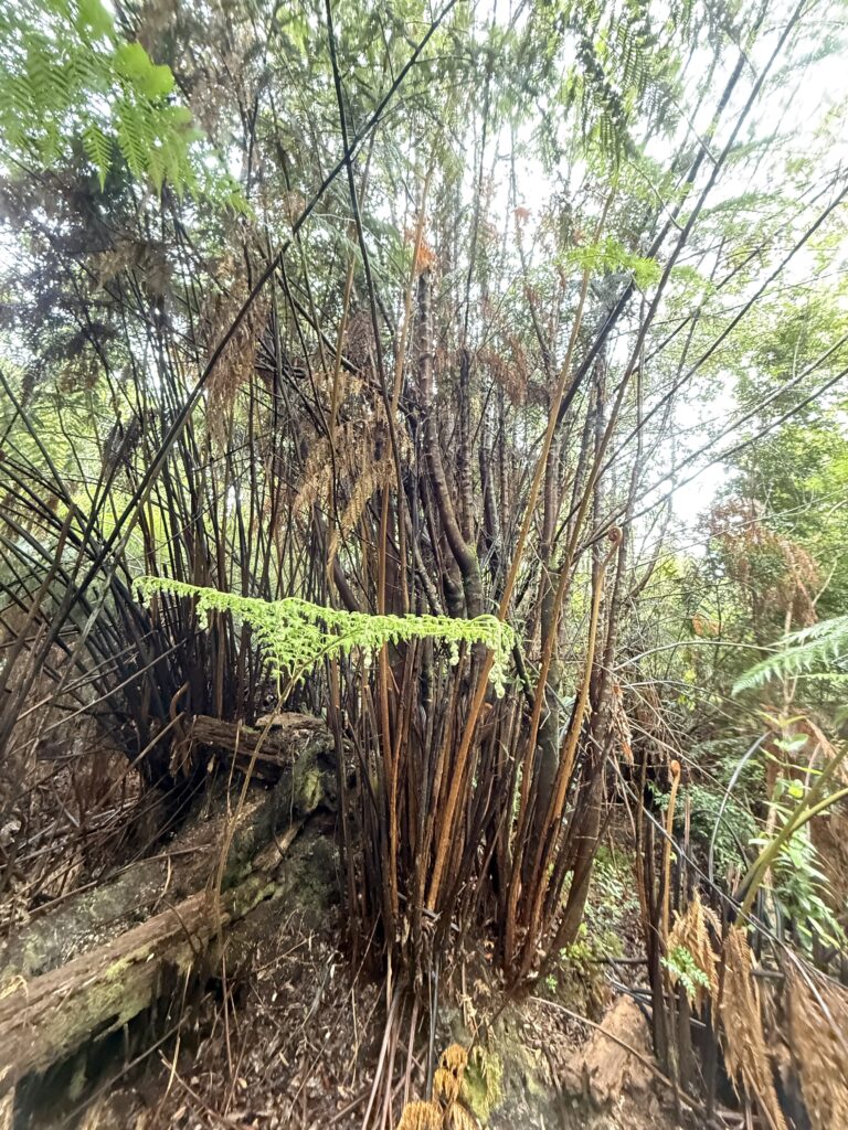
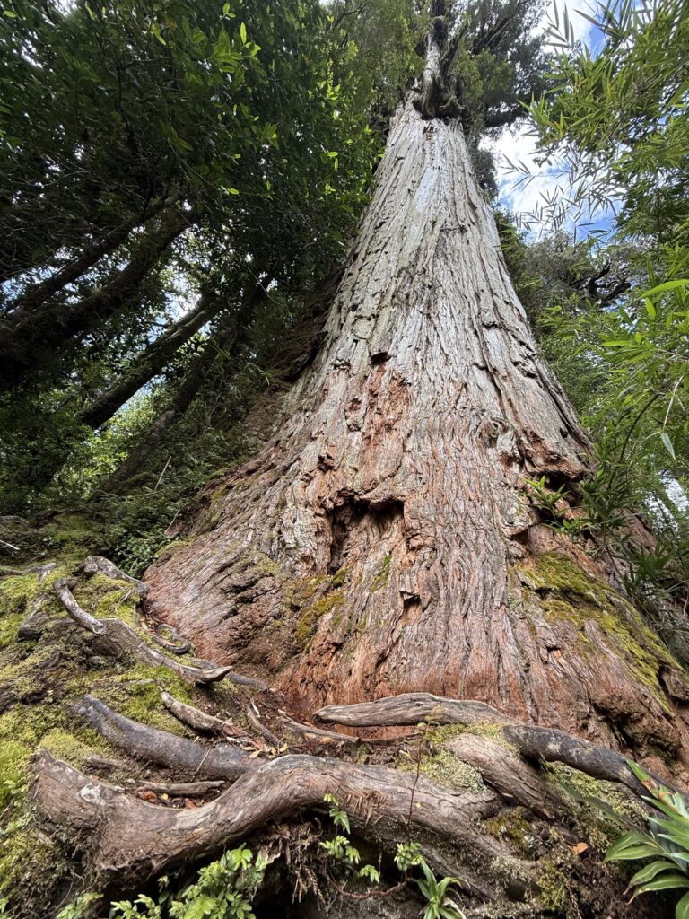
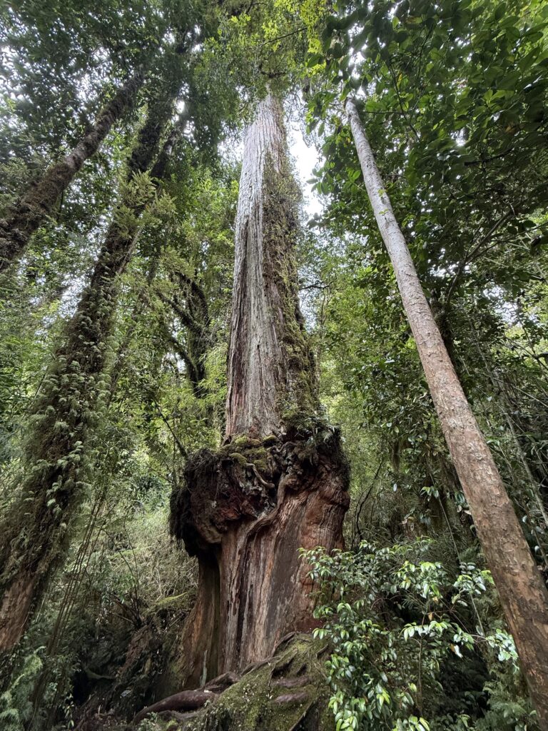
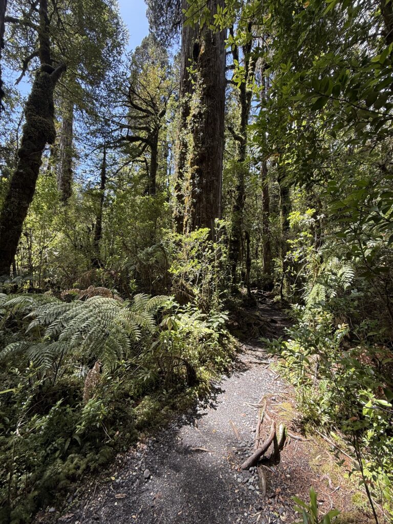
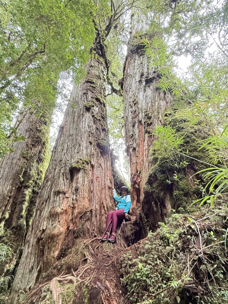
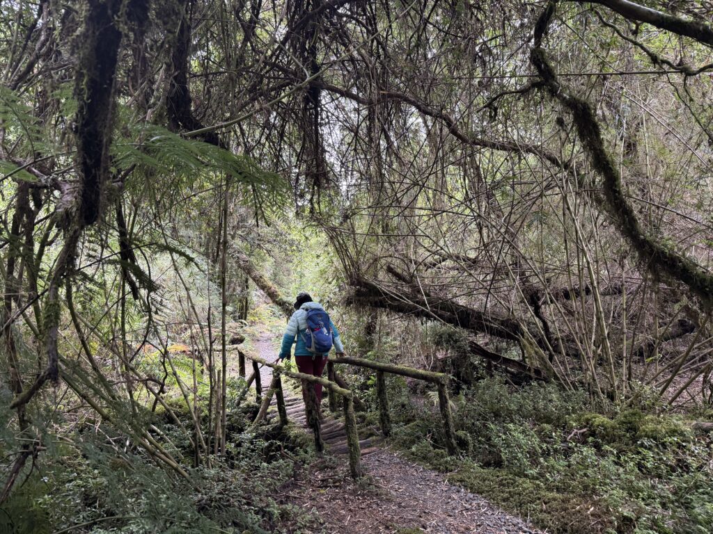
DAY 7: 18th DECEMBER: THE ALERCE FOREST TRAIL AND LAGO NEGRO
We got up late on the 18th stiff and sore from the previous day’s experience. The weather had changed for the better and it was bright and sunny.
T
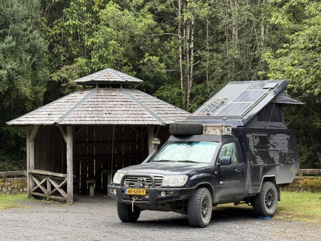
After the Alerce walk we took a short drive to Lago Negro (Black lake) referring to the lakes dark reflective waters. As we parked to start the short walk to Lago Negro, we noted an interesting camper van, with solar panels and additional kit.
Curious we went around and spoke to Sven and Katia . They are a Dutch couple who have been driving since 2018. This time they were spending 6 months in South America. They showed us around their modified Toyota, which was fully self contained, in addition to a 300 litre diesel tank, Starlink internet and cooking facilities. They would stop in places of interest and spend a few days before moving on
This was their second trip to the Pumalin Park and they recounted going up Volcan Chaiten 8 years ago, during a windy day when they were the only two climbers, and the howling wind at the top. They had to hold on for dear life to avoid being blown down into the valley.
We left as they started setting up to cook their evening meal and to stay there overdoing and walked the short distance through the forest path to the edge of Lago Negro. It was different, but not as spectacularly beautiful as some of the others we had seen. With that we headed back to the lodge for an early night and the drive the next day to Puyuhuapi.
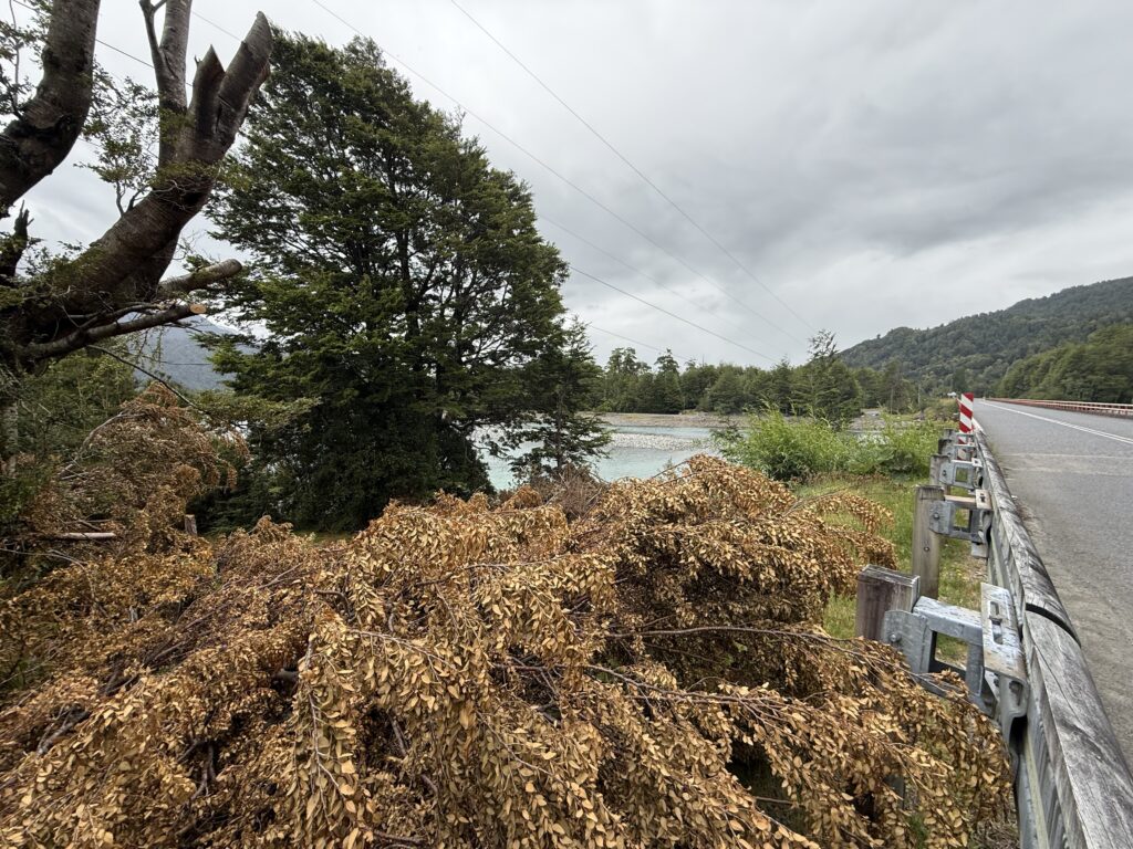
DAY 8 (19th December) Drive from Caleta Gonzalo to Puyuhuapi
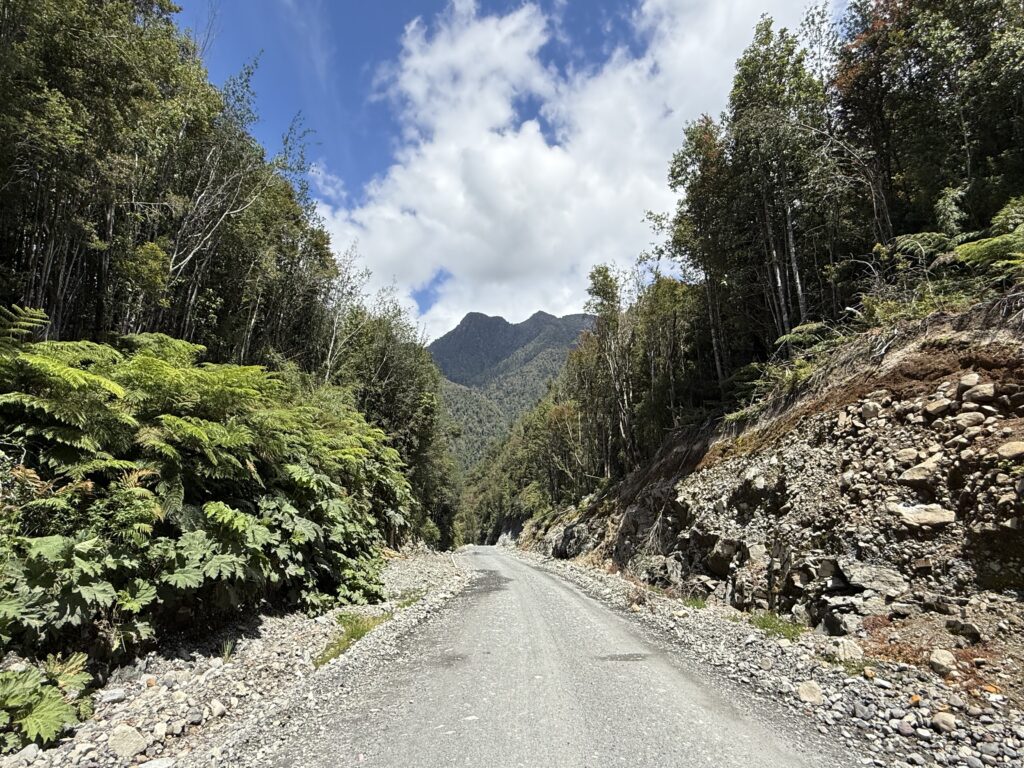
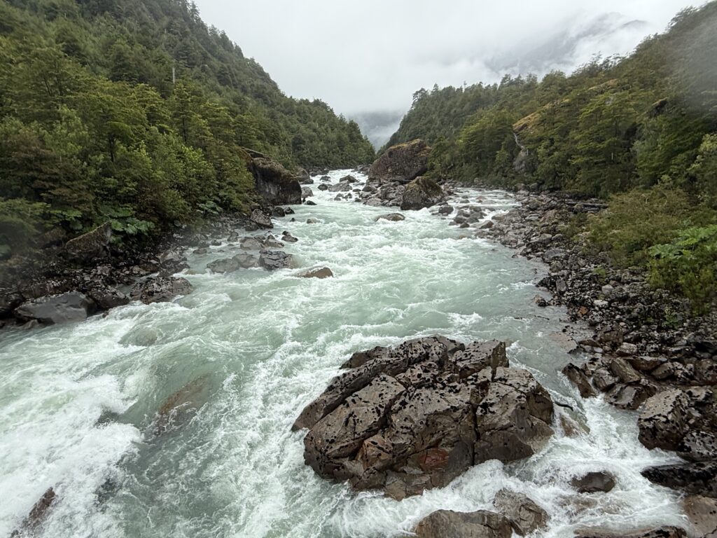
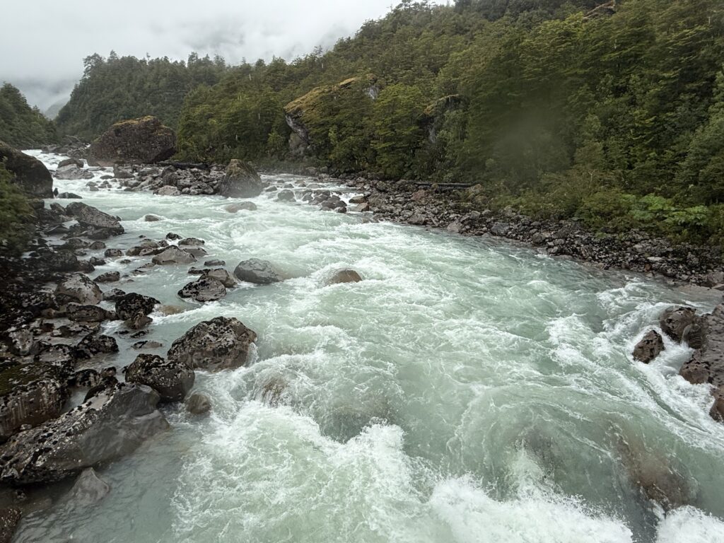
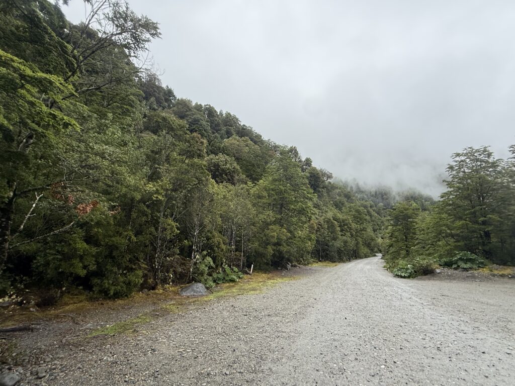
The section between Caleta Gonzalo and Chaiten does not have tarmac and is quite rough and muddy when it rains and there are hairpin bends and climbs and drops as it traverses the Pumalin Park.
The weather was quite bad with intermittent rains and it took around 7 hours for the drive that day to Puyuhuapi.
PUYUHUAPI
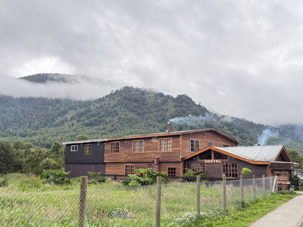
Top: Los Manios Del Queulat: The Hostal where we stayed for two nights. It is run by a couple Atte and her husband. It is popular with people who pass through the small town. We found it rustic, comfortable and a very convenient friendly place. It is just a brief walk from the town centre.
DAY 9 (20th December) Queulat National Park
The booking had to be done online the day before.
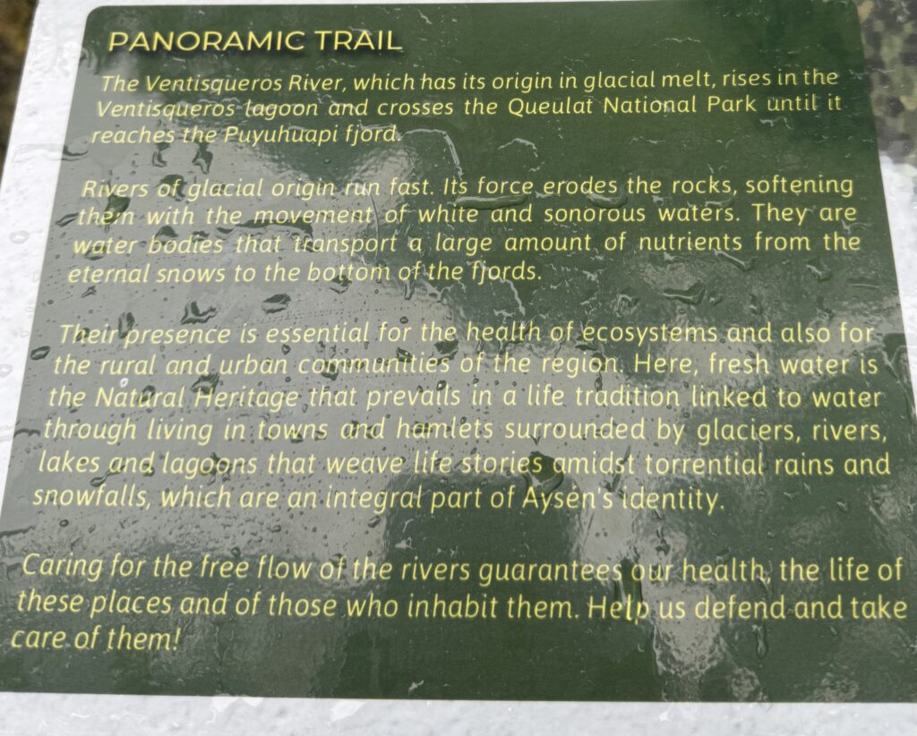
The main attraction of the park is the Hanging Glacier, however it was a dreadfully rainy and foggy day and the Glacier could not be seen. However the Ventisqueros river was in full flow and
We had planned to stay in Puyuhuapi for three nights and drive directly to Rio Tranquilo on the 22/12. I had misjudged the distance and the time required. Over 450 km and potentially 8 -10 hours given the roads and weather. S
Sheila took it unto herself to speak to Atte,, cancel the third day and decide instead to break the journey at Coyhaique, almost midway to Rio Tranquilo. Atte graciously obliged and cancelled the third day and gave a refund.
Day 10 : (21/12/2025) PUYUHUAPI TO COYHAIQUE
We left Manios de Quelat after breakfast. Atte and her husband came to say goodbye and safe travels. We had a pleasant couple of nights stay there. As mentioned in…. the room was large and comfortable and full of natural light and view of the mountains. The breakfast was simple but substantial. And most importantly both of them were pleasant and friendly.
We checked with Atte where we could refuel next. The nearest COPEC station was about 150 km away, however we had enough fuel for over 400km and hence decided we would fill the tank at Coyhaique which was a much bigger town.
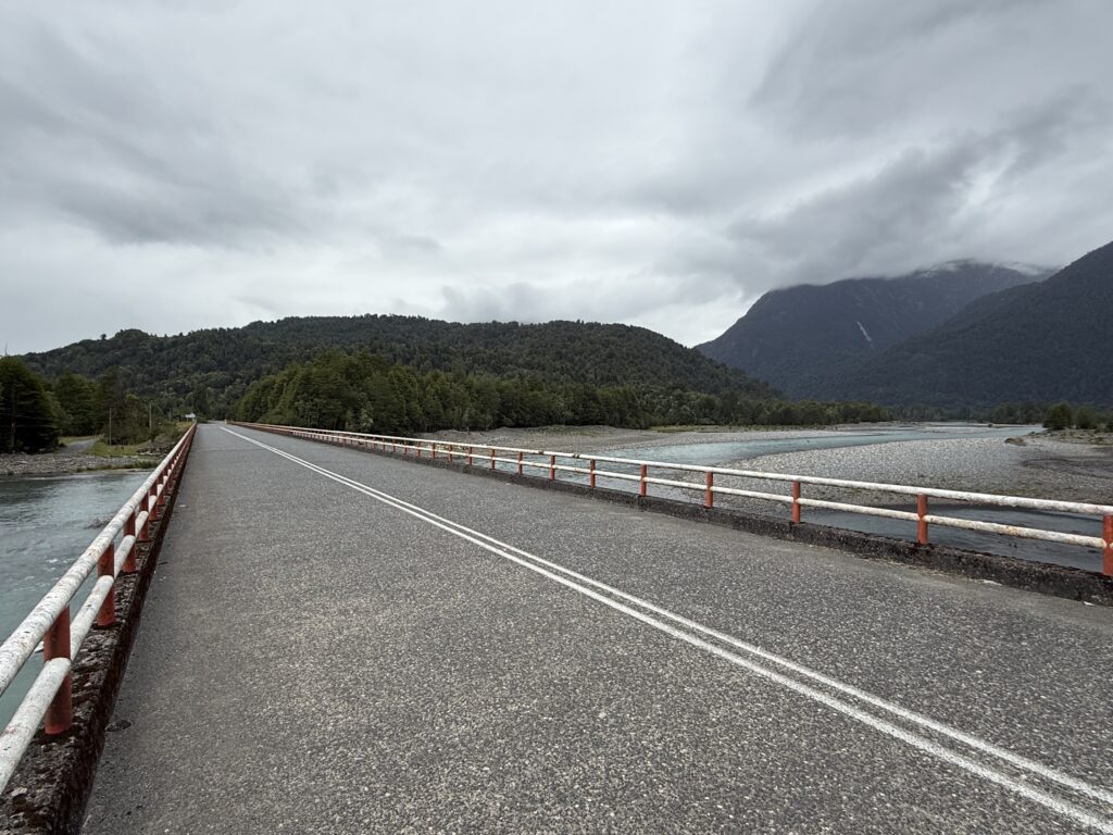
It was overcast and drizzly as we set off around 9.30 am. The first stretch took us back on Route 7 till the Quelat National Park, which we had visited the previous day. We soon realised, that that was just the Northern entrance of the park and that Route 7 meandered through a large part of the Queulat National Park, and included steep climbs and hairpin bends and did not have tarmac. There was a constant drizzle and also a period of heavy rain initially.
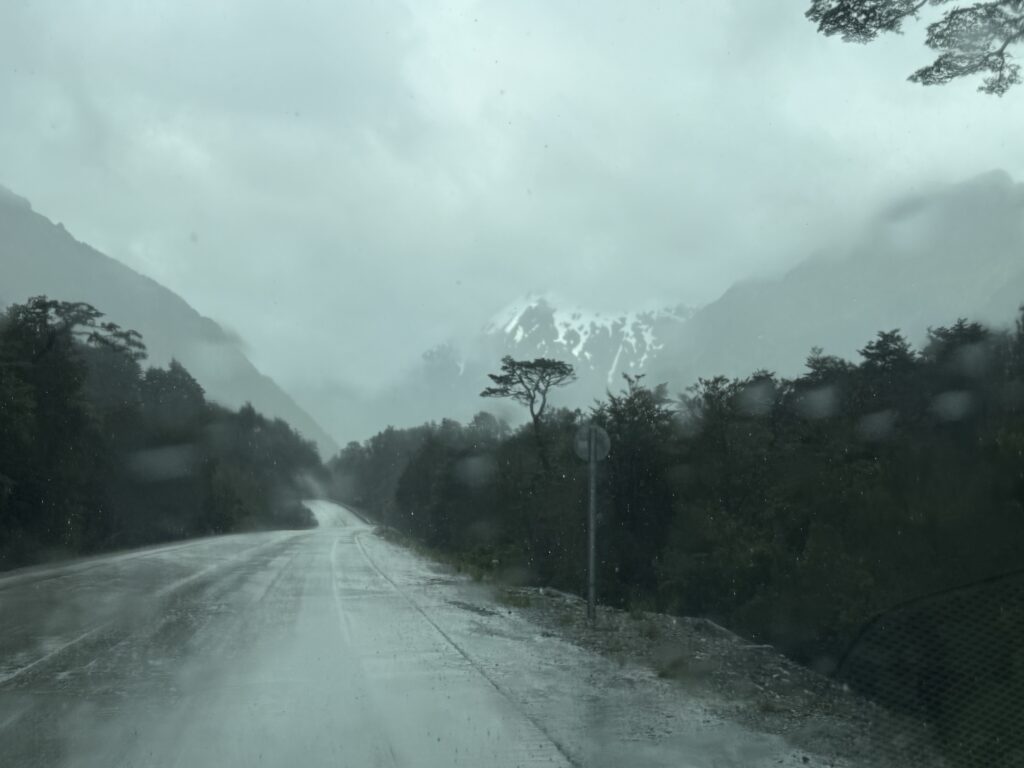
Rain driving through Queulat Park.
The road passed Salto El Condor , a waterfall and
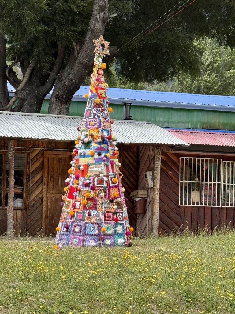
An interesting Christmas tree at Villa Maniguales
The distance we had to cover was 220km and we set off at 9.30. As we drove along we realised that just considering the distance and estimating arrival at our destination is very misleading. We thought we would take about 3-4 hours. We took 7 hours. The reasons were many as discussed.
A few kilometres south of Vila Manuel’s, the Ruta 7 there is a bifurcation where the X 50 branches off from Route 7 and also goes to Coyhaique however it is a tarmac road. The
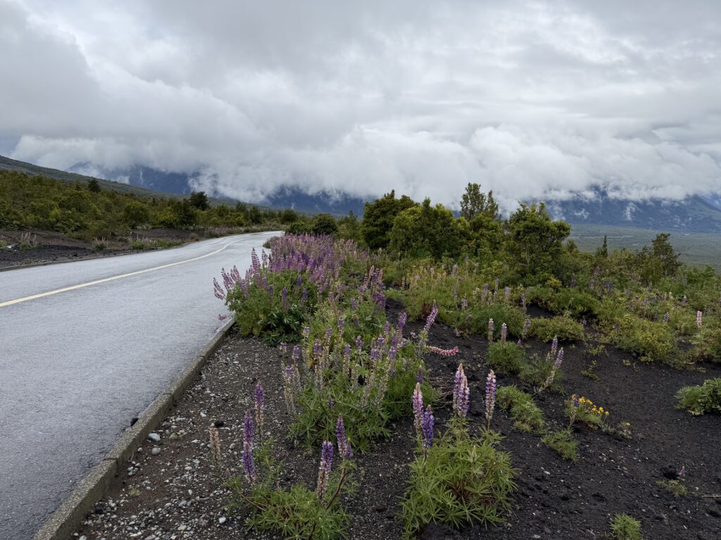
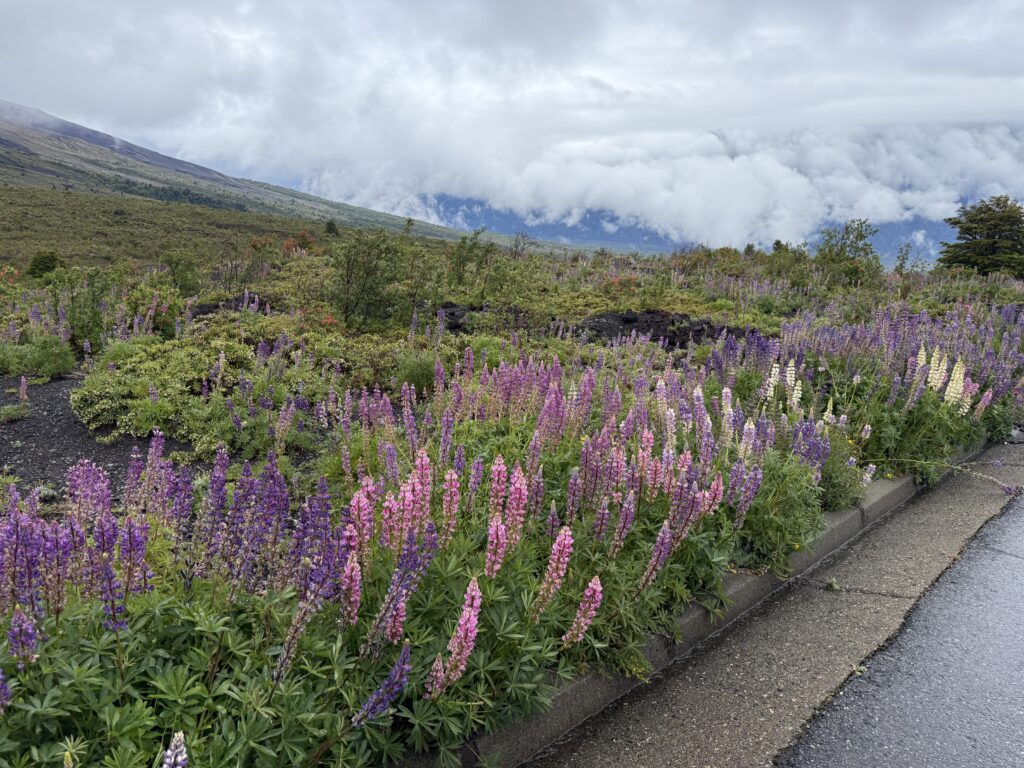
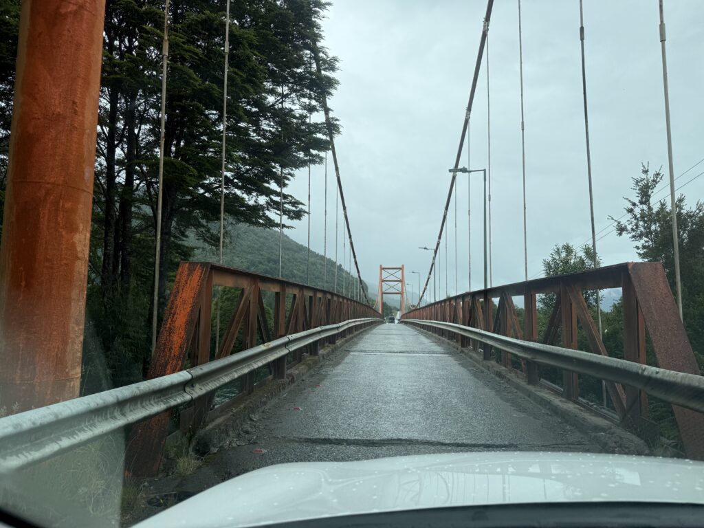
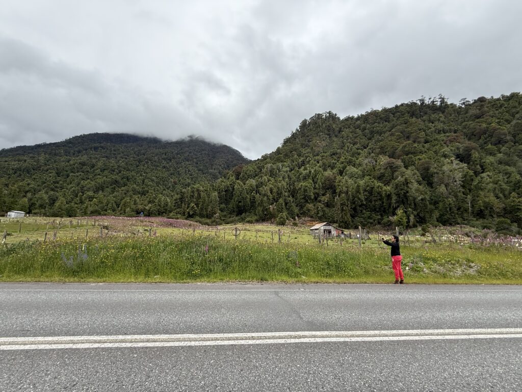
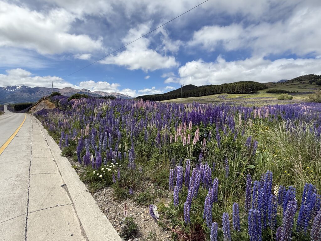
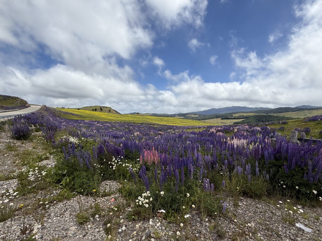
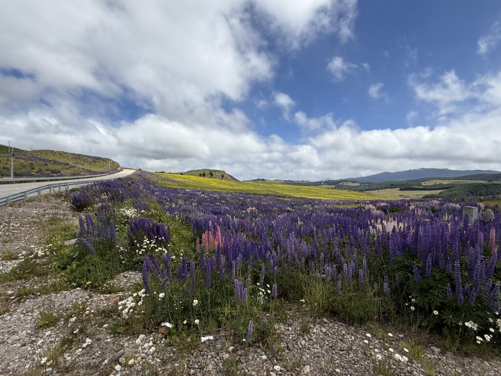
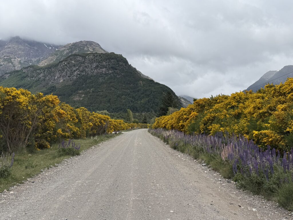
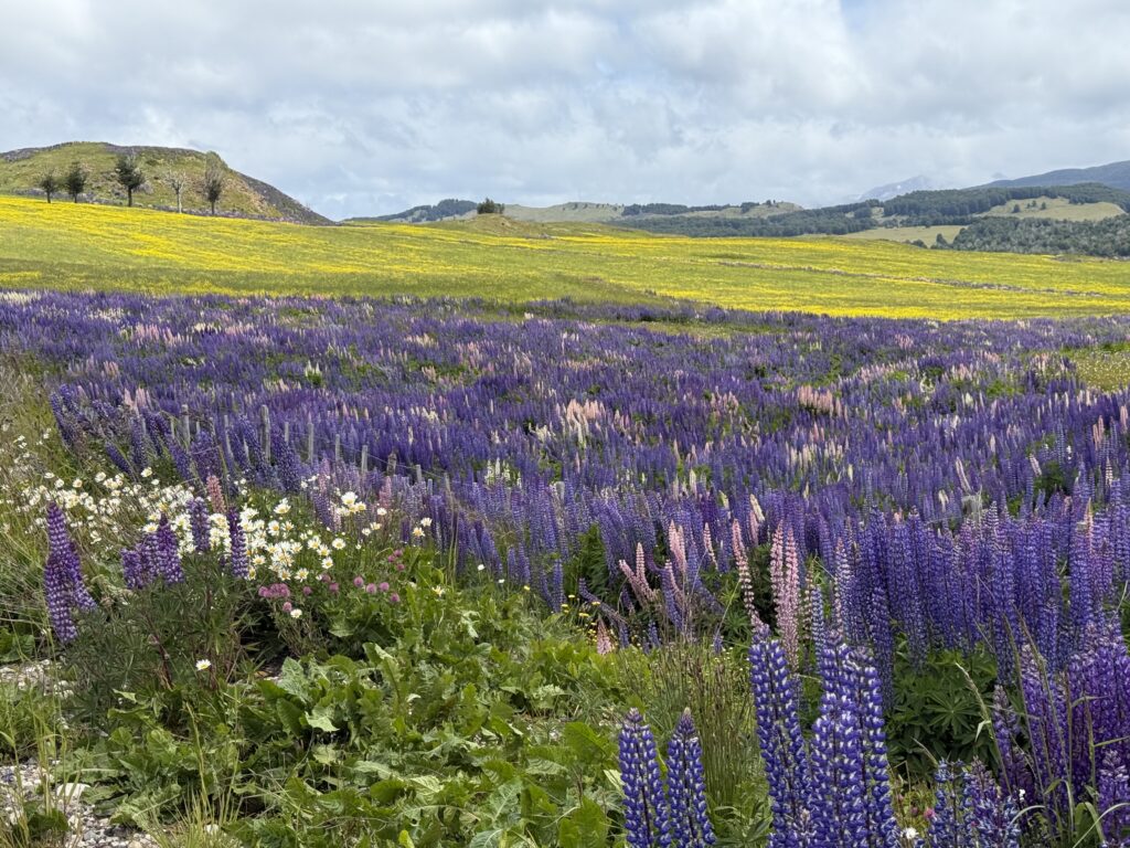
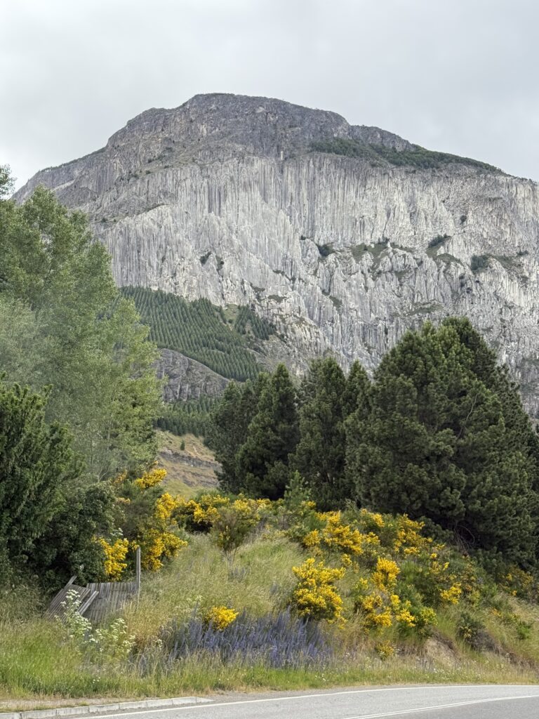
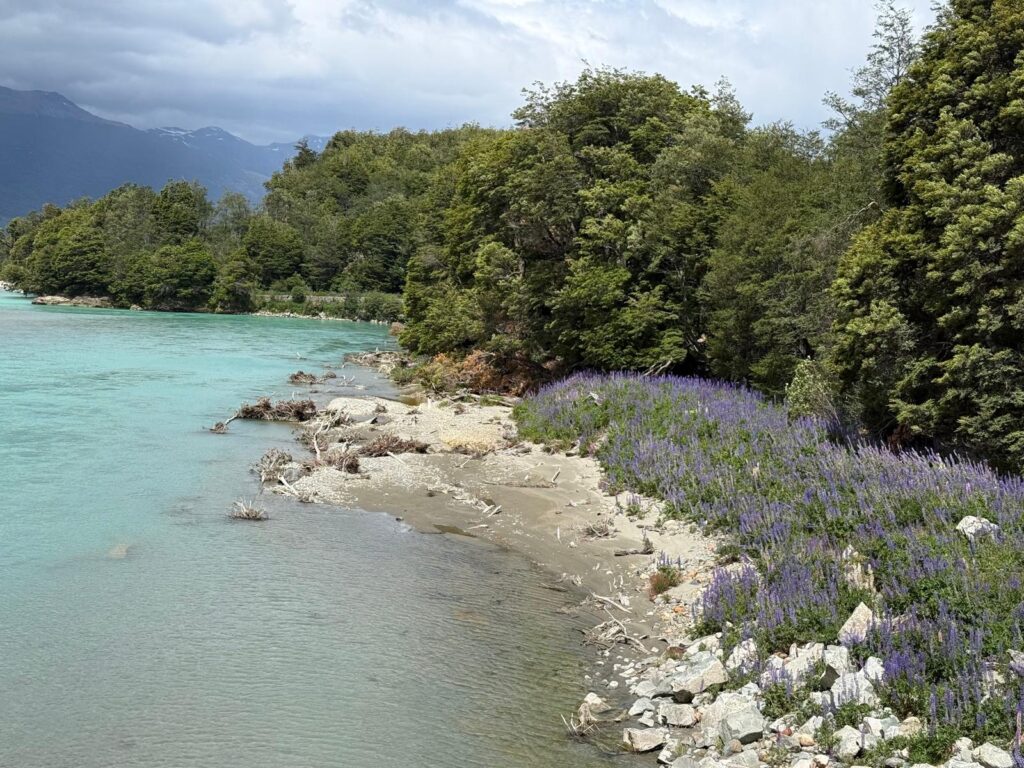
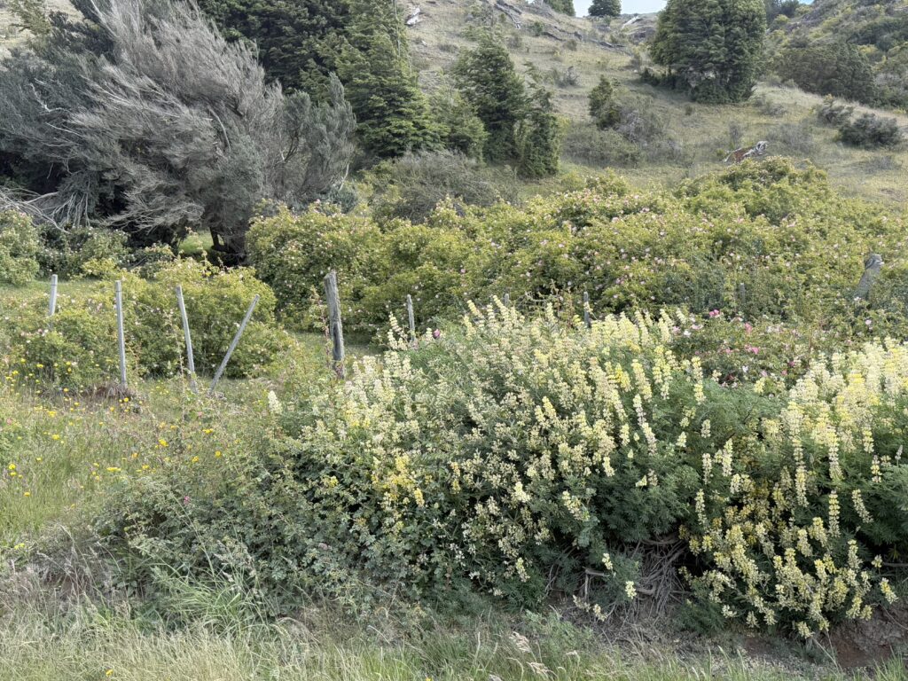
But the most important reason was the scenery along the way which was stunning and we kept stopping and taking pictures as we could not resist. Initially the mountains were clothed in dense forests (Valvidivian Temperate forests). As we drove through the Quelaut National Park we saw many waterfalls and crossed many Puentes (bridges) with glacial streams tumbling and rushing over the rocks under the bridges. As we climbed into the mountains we came across snow covered peaks, although thankfully at a distance. Finally as we were entering the final third of our journey, we began to see wild flowers. There were thousands and thousands of purple lupins on either side of the roadside, extending into the valleys and covering the hills. The effect was stunning and the air was filled with their perfume, a mix of a smell of lavender and spice. There were also fields covered with yellow flowers and daisies. Everywhere large gorse bushes were ablaze with yellow flowers.
We kept taking photos but these could not capture what our eyes saw and all we hope, is that we can keep them in our memories. We were discussing how glorious nature is and what are we, not that significant, but a tiny part of it all !!
The pictures below
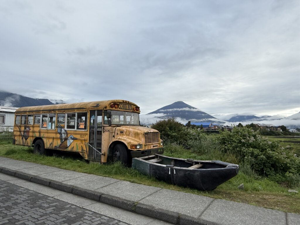
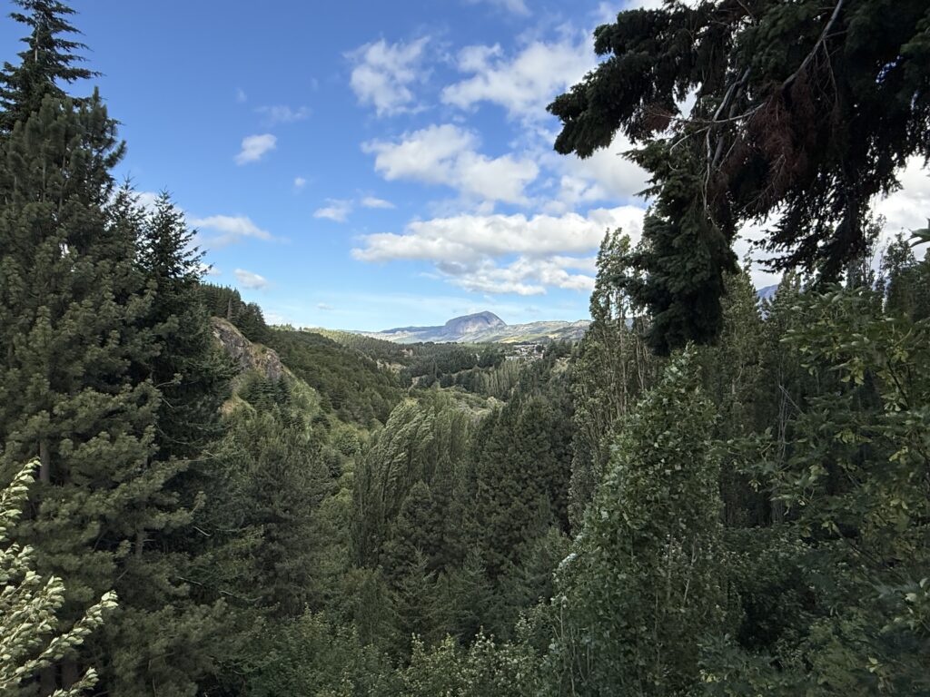
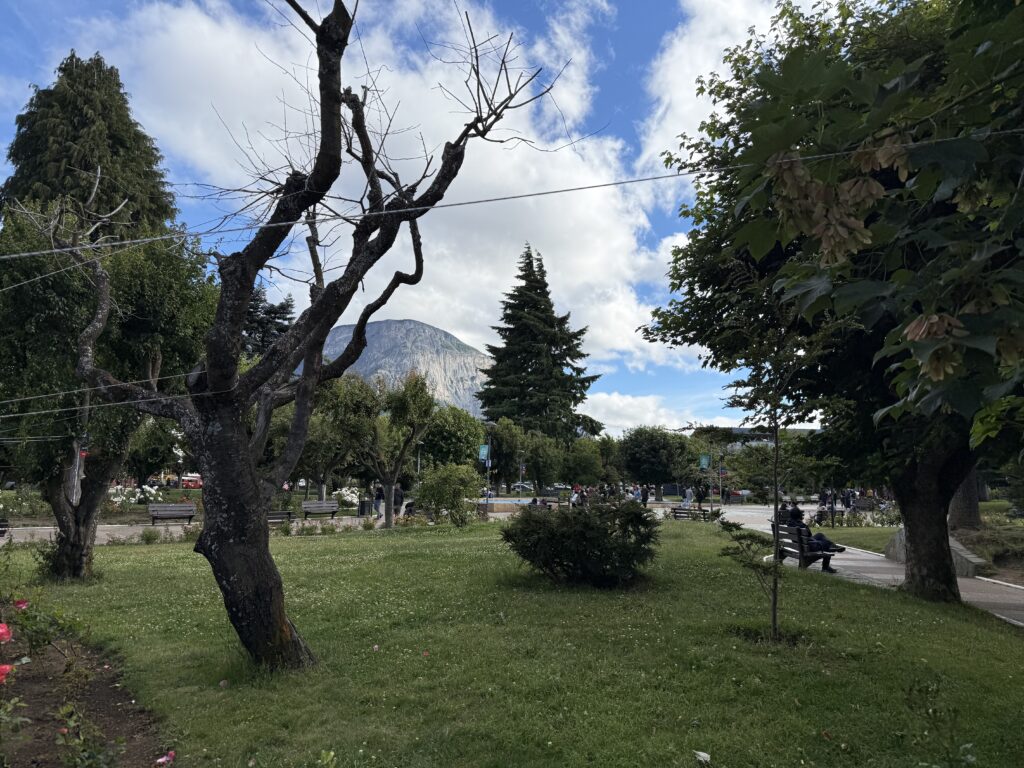
COYHAIQUE
This is the biggest city in the Aysen region and a gateway to remote Patagonia. The Cerro McKay, a mountain with a interesting and characteristic rock face looms over the city.
The Cerro MacKay overlooking Coyhaique
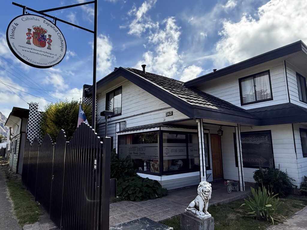
We had booked into the Hostal et Cabanas Espanol and checked in as soon as we reached. It was a
Being Sunday, we thought we would go for mass and went to the Cathedral de Neustra Señora de los Dolores. There was no evening mass and the Cathedral was unfortunately shut. It is supposed to be quite beautiful inside.
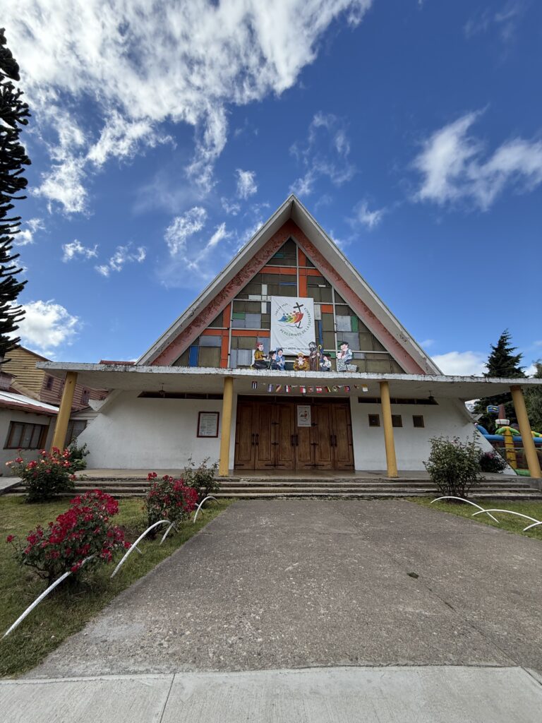
Cathedral de Neustra Señora de los Dolores
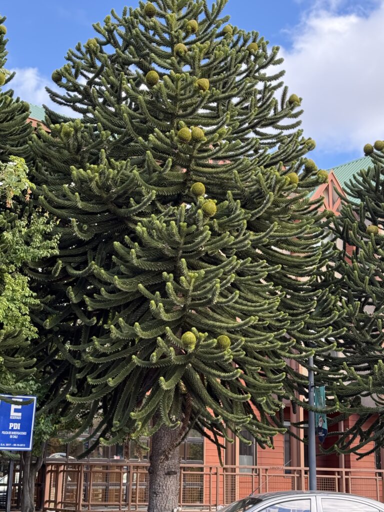
Scenes from Coyhaique town, including the Christmas market and a monkey puzzle tree (Bottom Right). The monkey puzzle tree is also known as the Chilean Pine and is a tree native to the Andes Mountains. It is also the national tree of Chile. It is known as a living fossil as it’s lineage dates back around 200 million to the Jurassic period. Its seeds are supposed to taste like hazelnut.
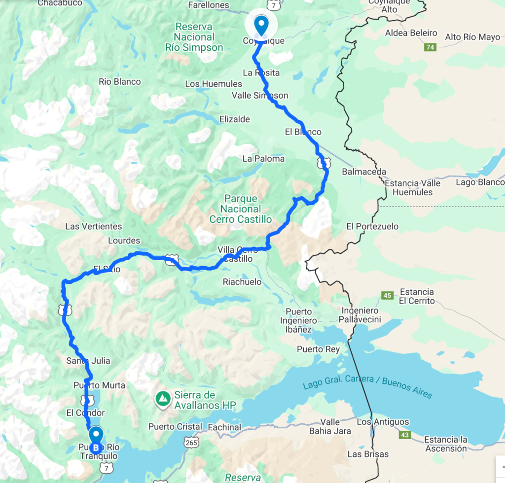
DAY 11 : (22/12/2025) COYHAIQUE TO PUERTO RIO TRANQUILO
The distance covered today was around 220 km , about 150 of which was on non tarmac gravel road.
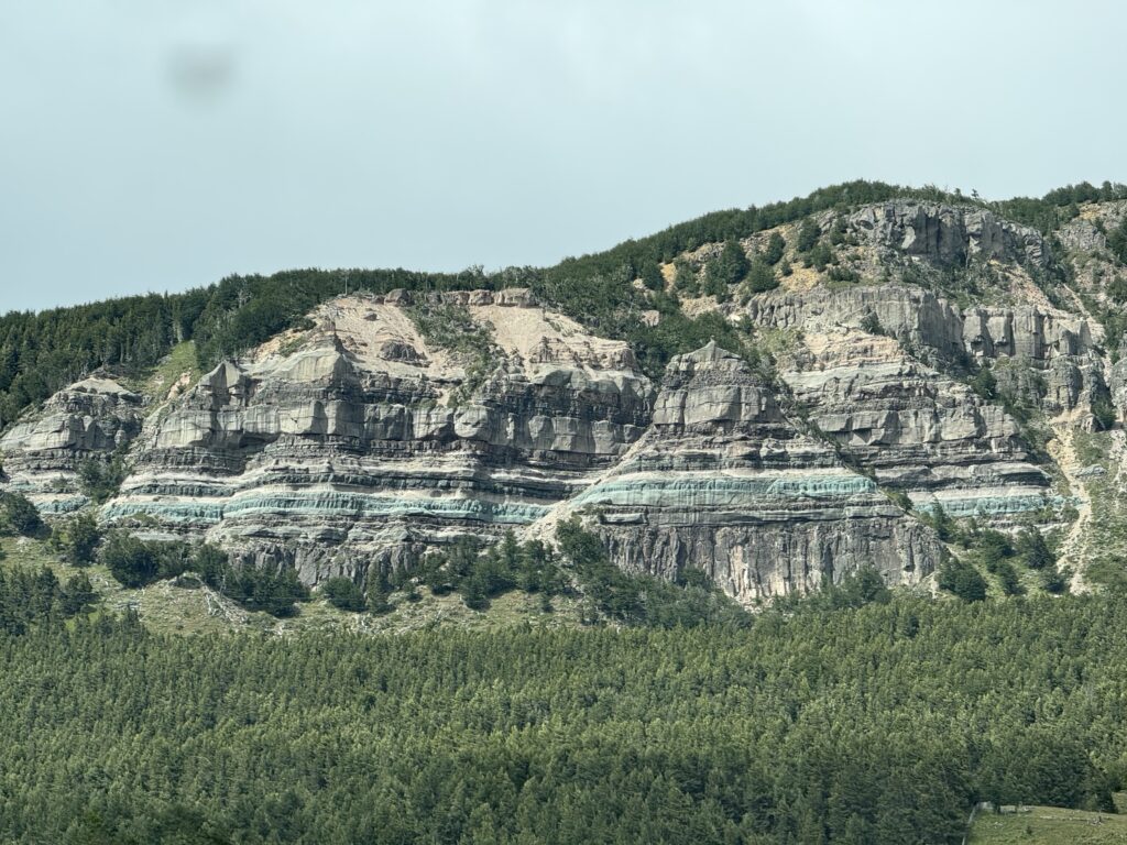
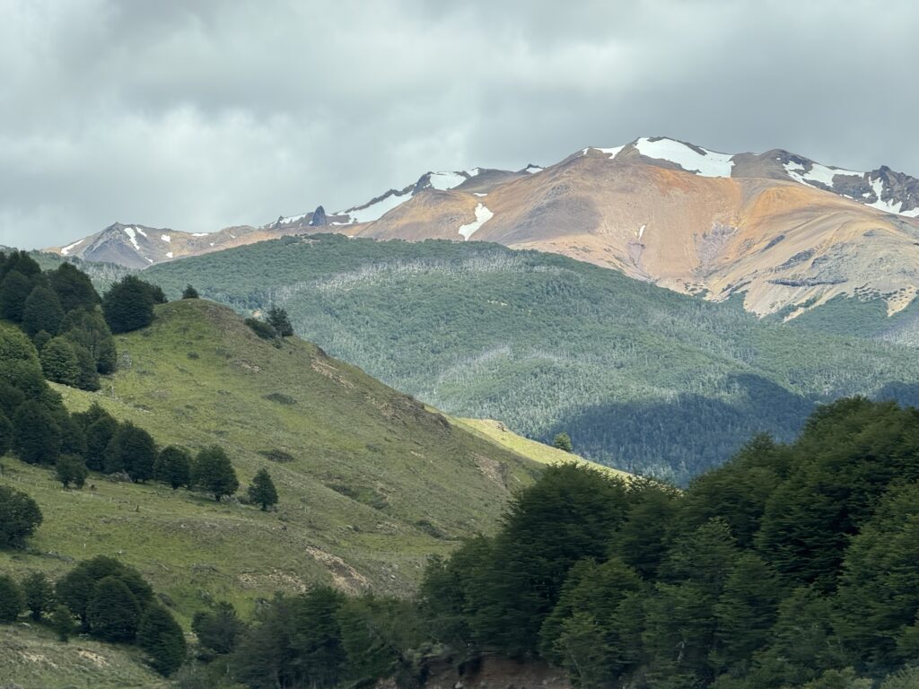
Sheila’s take: The journey for me fell into 3 sections. In the first section the landscape was very different to yesterday and the initial part of the drive through the Parc Nacional Cerro Castillo was filled with huge mountains which were awe inspiring. Many were multi hued and some snow covered peaks with cloud formations against a blue sky felt as though they were created by a master artist.
The 2nd section still mountainous but strong dust storms started and it felt a little intimidating. There were some cyclists battling to stay on their bikes, their heads and faces covered to protect from the dust.
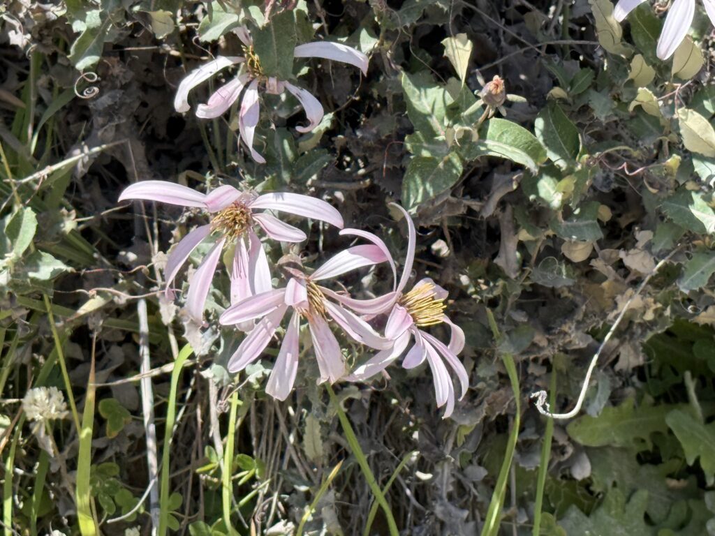
The final third was so beautiful with turquoise rivers meandering and winding through the valleys with tons of flowers, more yellow and white lupins, buttercups and dandelion family flowers and mutisia- a Patagonian wildflower.
I love the turquoise and teal colour so I decided to find out why these lake were this colour. It is due to the ‘glacial flour’ which is suspended in the water. They act as tiny crystals reflecting the blue green colour whilst the other colours are absorbed.
I was pondering on human connections following a dream I had and I began to think about our connection to nature. This is just ‘tongue in cheek’. I think our connection is dependant on our mode of travel, with airplanes creating the least connection and cyclists and walkers having the most. Watching the cyclists battle with the elements made me think of this. I must say that driving in a car is what is possible for us and for us it is giving us a closer connection to earth.
The strong winds whipping up dust storms can be seen in the distance at the base of the picture above.

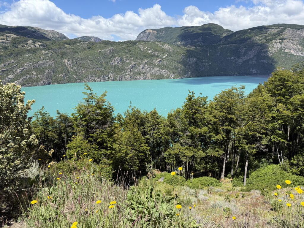

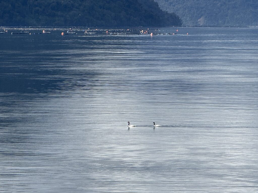
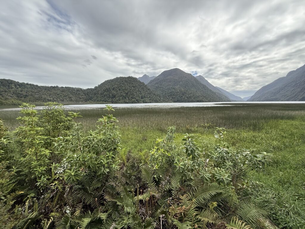
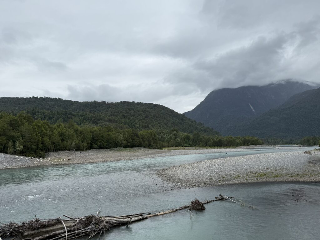
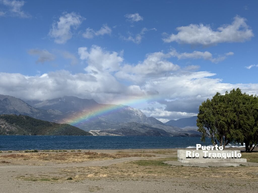
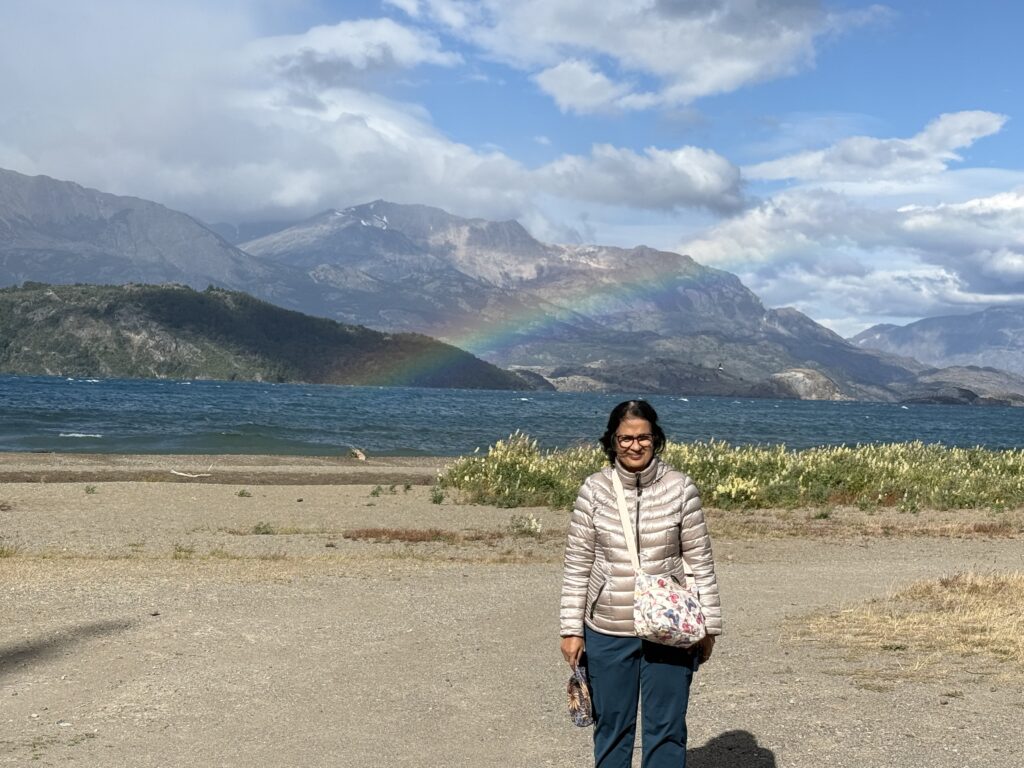
Ruta 7 then meandered along a brilliantly turquoise Lago Verde, before reaching Puerto Rio Tranquillo.
PUERTO RIO TRANQUILO
Puerto Rio Tranquilo is a small town on the edge of the Lago General Carrera, on the Chilean side. The Lago General Carrera is crescentic lake which also partly is in Argentina where it is called Lago Buenos Aires.
The town is a staging point for travellers along Ruta 7 and also for visitors to the Catedral de Marmol (Marble Caves) and to Laguna San Raphael and the San Raphael Glacier.
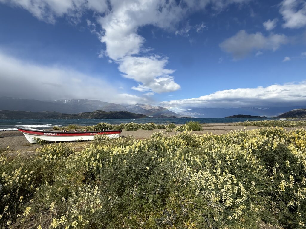
We drove into Rio Tranquilo around 5 pm, past the waterfront where we stopped briefly. The combination of blue sky, white clouds , the turquoise water along with the yellow flowers made it a picture postcard scene, hence another 15 mins for the obligatory pictures.
Next we went off in search of our self-catering Cabana where were to stay for the next three nights. We had been given the address by Terra Patagonia, who we had booked with, but the house at the address was locked. We rang the owner and after google translated Spanish English verbal and WhatsApp exchange, emphasising the key was on the door. It was not. Ultimately she came around.. The Cabana was behind the address, it turned out, and the address was meant as a reference point. None of this was clarified at reservation.
However it was a pleasant, roomy and convenient place just walking distance to the town centre. A friendly but morose looking dog welcomed us at the gate.

The street was just adjacent to the town centre and was quite pretty with loads of flowers and a pony grazing next to a house.
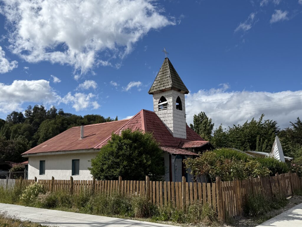
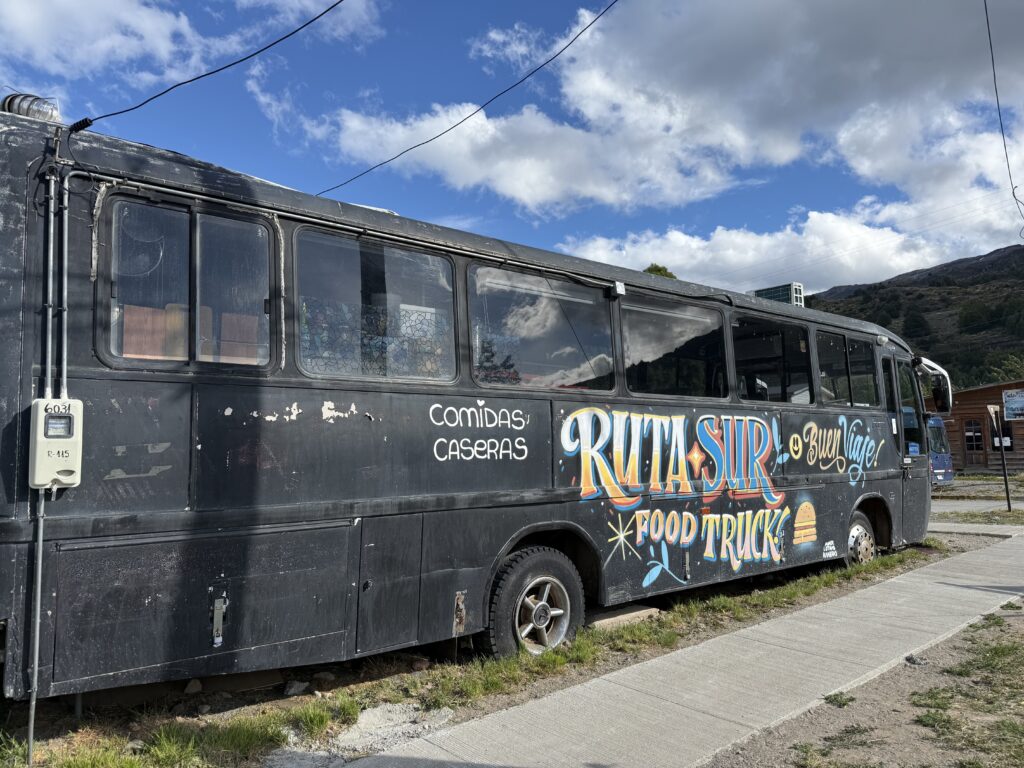
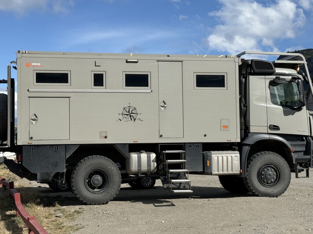
Pictures. C clockwise. The Catholic Church, A Ruta Food Truck ( Appears a derelict truck). A mini supermarket window and a modified heavy duty camper van.
The rest of the journey in an update in a few days.
Leave a Reply to Usha Chandran Cancel reply